Medium airport · Mexico
Terán Air BaseMMTB
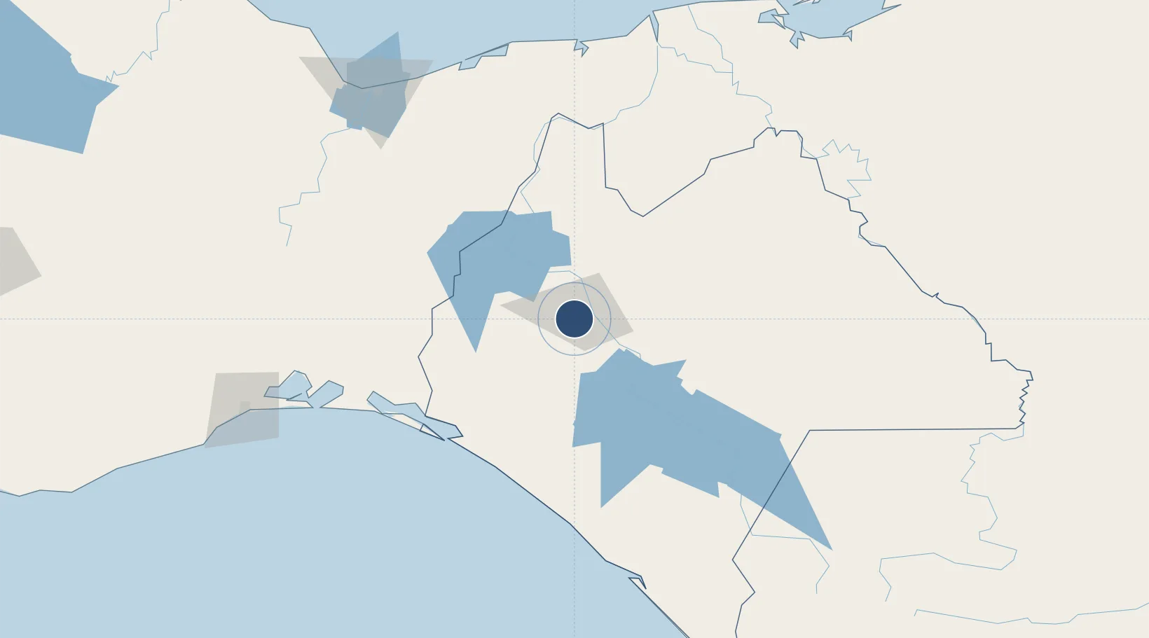
16.7399°, -93.1733°
7,065 ft
Longest runway
1
Runways
1,909 ft
Elevation
Runway & Layout

Radio Frequencies
TWR
118.45 MHz
TUXTLA TWR
APP
118.6 MHz
TUXTLA APP
Navaids
TGM VOR-DME Teran 117.30 MHz
Runways · 1
| Runway | Dimensions | Surface | True heading | Lit |
|---|---|---|---|---|
| 17/35 | 7,065 × 135ft | Asphalt | 179° | ✓ |
Airport Specifications
ICAO code
MMTB
Airport class
Medium airport
Scheduled service
No
Runway surface
Asphalt
Served city
Tuxtla Gutiérrez
Location
Nearby Logistics Neighbours
Airports
Cities
- 1Chiltepec187 km
- 2Ixhuatlan del Sureste191 km
- 3Dos Bocas Terminal196 km
- 4Juchitán de Zaragoza199 km
- 5Pajaritos200 km
Ports
- 1Dos Bocas Terminal188 km
- 2Minatitlan198 km
- 3Nanchital198 km
- 4Coatzacoalcos205 km
- 5Frontera207 km
Trade Zones
DatabookThe Record of Consolidated Knowledge
Mexico beyond logistics?