Channel & Berth Profile
Pilotage, Tugs & Services
Pilotage compulsoryYES
Pilotage availableYES
Tug assistanceYES
Potable waterYES
Facilities & Capabilities
ContainerYES
Ro-Ro—
Liquid bulkYES
Dry bulkYES
Oil terminalYES
Break bulkYES
Dry dock—
RepairsNO
Bunkering—
Rail link—
Dangerous cargo—
ISPS securityYES
Harbour Specifications
Harbour size
Very Small
Harbour type
Open Roadstead
Shelter
Poor
Water body
Gulf of Mexico; North Atlantic Ocean
Tidal range
1 m
Overhead limit
Yes
Pilotage
Yes
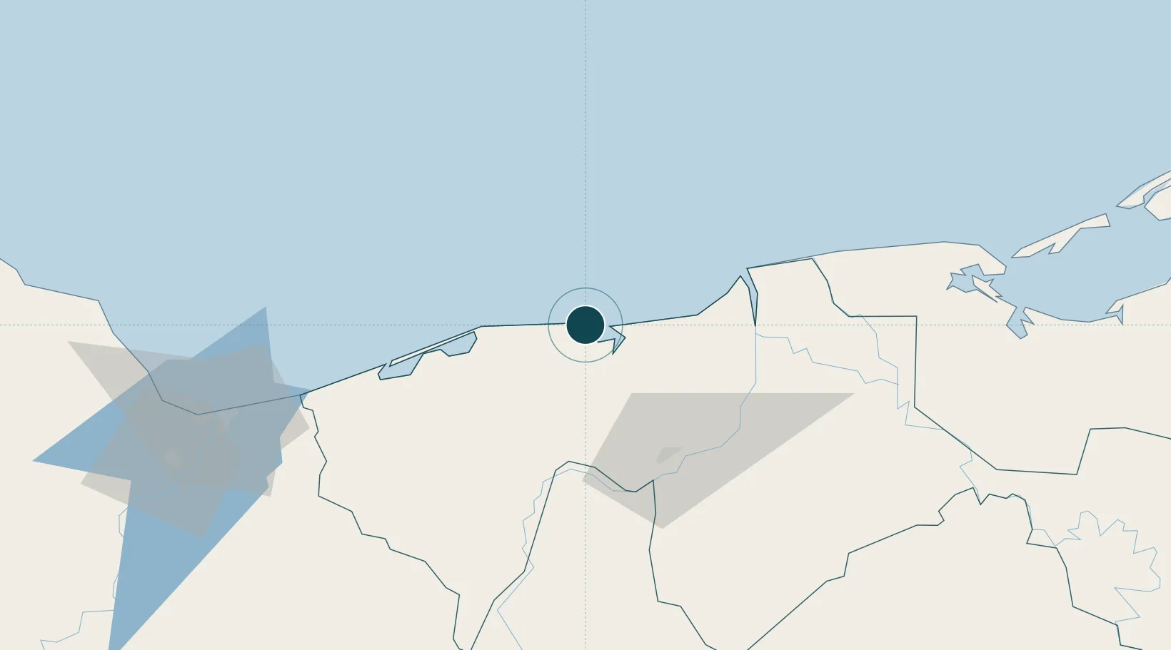
Location
Nearby Logistics Neighbours
Ports
- 1Frontera61 km
- 2Coatzacoalcos131 km
- 3Nanchital133 km
- 4Ciudad Del Carmen144 km
- 5Minatitlan156 km
Cities
- 1Chiltepec14 km
- 2Frontera63 km
- 3Rabon Grande/Coatzacoalcos127 km
- 4Pajaritos128 km
- 5Coatzacoalcos129 km
Airports
DatabookThe Record of Consolidated Knowledge
Mexico beyond logistics?