Seaport · Mexico
CoatzacoalcosMXCOA
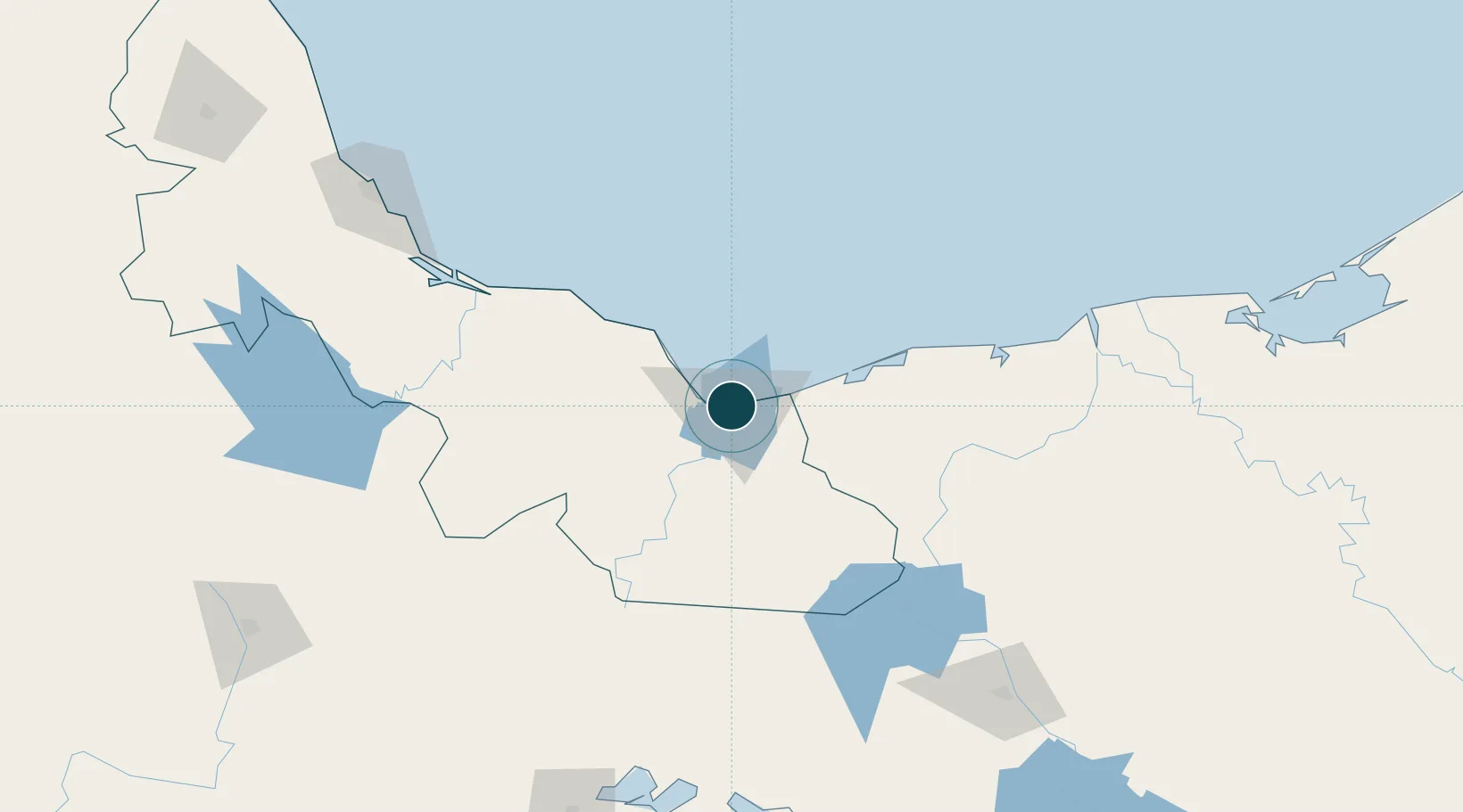
18.1500°, -94.4167°
11.2 m
Channel depth
9.7
Port liner connectivity
Channel & Berth Profile
Pilotage, Tugs & Services
Pilotage compulsoryYES
Pilotage availableYES
Pilotage advisableYES
Local assistanceYES
Tug assistanceYES
Salvage tugsYES
Potable waterYES
Facilities & Capabilities
ContainerYES
Ro-RoYES
Liquid bulkYES
Dry bulkYES
Oil terminalYES
Break bulkYES
Dry dock—
RepairsNO
BunkeringYES
Rail linkYES
Dangerous cargo—
ISPS securityYES
Harbour Specifications
Harbour size
Small
Harbour type
River (Natural)
Shelter
Good
Water body
Gulf of Mexico; North Atlantic Ocean
Tidal range
0.4 m
Overhead limit
Yes
Pilotage
Yes
Liner Connectivity
9.7
PLSCI
Port Liner Shipping Connectivity Index for Coatzacoalcos, as published by UNCTAD for the latest available quarter. Higher values indicate stronger scheduled liner-shipping integration.
Shown relative to the highest per-port PLSCI in the dataset (1,657.9).
Location
Nearby Logistics Neighbours
Ports
- 1Nanchital9 km
- 2Minatitlan33 km
- 3Dos Bocas Terminal131 km
- 4Frontera191 km
- 5Veracruz215 km
Cities
- 1Pajaritos5 km
- 2Rabon Grande/Coatzacoalcos8 km
- 3Ixhuatlan del Sureste15 km
- 4Cosoleacaque23 km
- 5Dos Bocas Terminal136 km
Airports
DatabookThe Record of Consolidated Knowledge
Mexico beyond logistics?