Medium airport · Mexico

Ciudad del Carmen International AirportMMCE
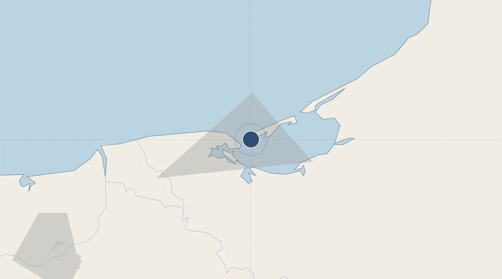
18.6515°, -91.7994°
7,218 ft
Longest runway
1
Runways
10 ft
Elevation

Runway & Layout

Ciudad del Carmen International Airport runway & taxiway layout
Runway & taxiway layout — OpenStreetMap (ODbL) / OurAirports

Radio Frequencies

TWR
118.4 MHz
CARMEN TWR
OurAirports

Navaids

CME VOR-DME Carmen 113.00 MHz
OurAirports

Runways · 1

RunwayDimensions SurfaceTrue headingLit
13/31 7,218 × 148ft Asphalt 140°
OurAirports

Airport Specifications

IATA code
CME
OurAirports
ICAO code
MMCE
OurAirports
Airport class
Medium airport
OurAirports
Scheduled service
Yes
OurAirports
Runway surface
Asphalt
OurAirports
Served city
Ciudad del Carmen
OurAirports

Location

Location of MMCE
Natural Earth 10m (public domain) · Campeche · MMCE · 18.65, -91.80GoogleOSMYandex

Nearby Logistics Neighbours

Airports
  1. 1Carlos Rovirosa Pérez International Airport130 km
  2. 2Cantarell II Platform Helipad182 km
  3. 3Ingeniero Alberto Acuña Ongay International Airport188 km
  4. 4Terán Air Base258 km
  5. 5Angel Albino Corzo International Airport266 km
Nearest neighbours — logibook spatial index (haversine) over the source coordinates
Cities
  1. 1Ciudad del Carmen4 km
  2. 2Frontera89 km
  3. 3Cayo Arcas Terminal119 km
  4. 4Takuntah123 km
  5. 5Chiltepec138 km
Nearest neighbours — logibook spatial index (haversine) over the source coordinates
Ports
  1. 1Ciudad Del Carmen7 km
  2. 2Frontera91 km
  3. 3Dos Bocas Terminal151 km
  4. 4Cayo Arcas Terminal170 km
  5. 5Campeche187 km
Nearest neighbours — logibook spatial index (haversine) over the source coordinates
Trade Zones
  1. 1Zona Economica Especial de Tabasco155 km
  2. 2Special Economic Zone of Campeche163 km
  3. 3Special Economic Zone of Coatzacoalcos291 km
  4. 4Special Economic Zone of Progreso356 km
  5. 5Corozol Free Zone359 km
Nearest neighbours — logibook spatial index (haversine) over the source coordinates
DatabookThe Record of Consolidated Knowledge
Mexico beyond logistics?
Browse databook

All Sources

AirportsOurAirports
Public domain
Portsthe NGA World Port Index
Public domain (US gov)
LocationsUN/LOCODE
UN/LOCODE — free
Trade Zonesthe World Bank SEZ database
CC BY 4.0
Trade ZonesOpen Zone Map
CC BY
InfrastructureOpenStreetMap
ODbL 1.0
← Mexico airports