Commercial Free Zone · Belize

Corozol Free Zone Active
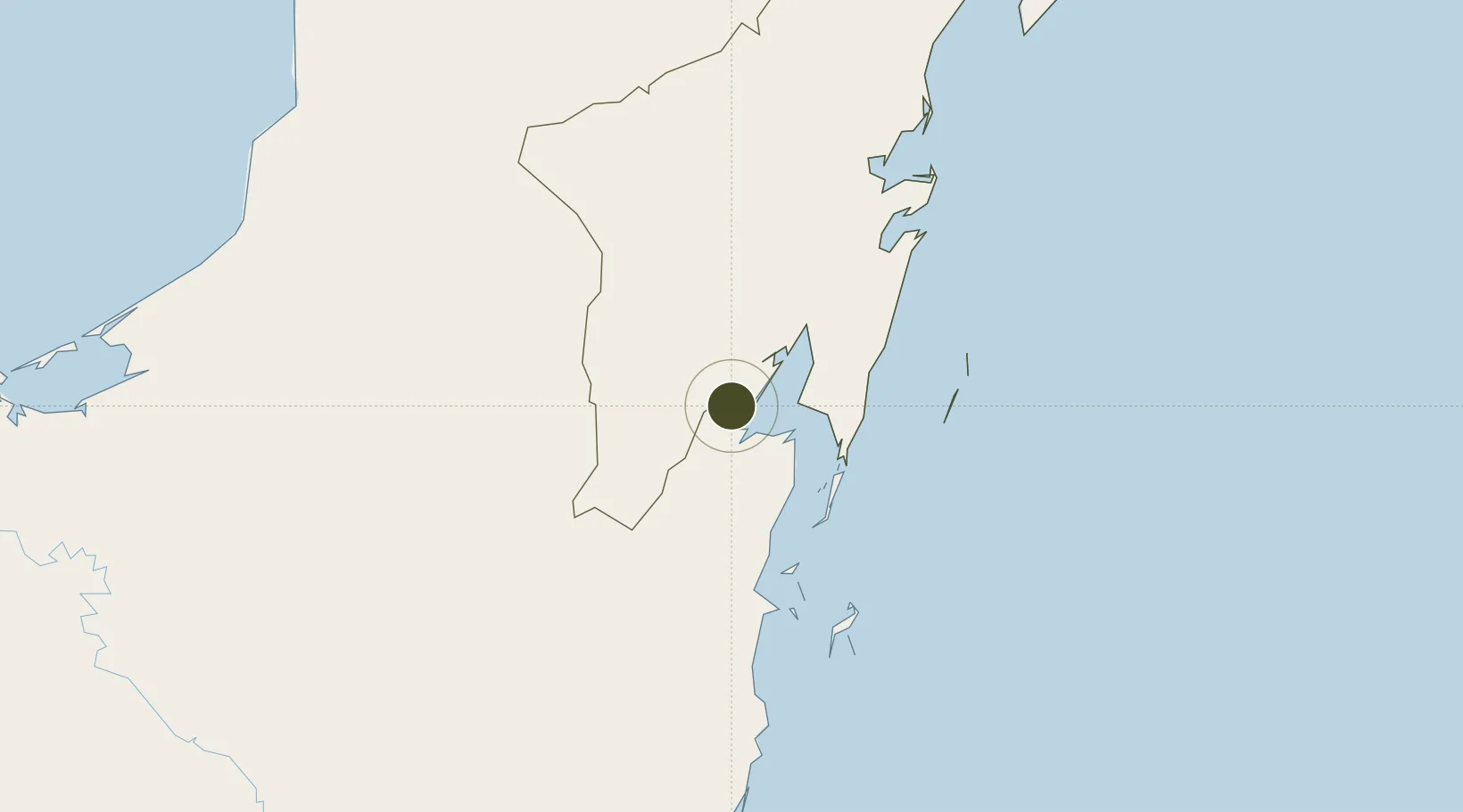
18.4850°, -88.3948°
83 ha
Zone area
79.9 km
Nearest port
7.4 km
Nearest airport

Gateway access

Nearest neighbours — logibook spatial index (haversine) over the source coordinates

Zone profile

Zone type
Commercial Free Zone
the World Bank SEZ database
Region
Quintana Roo
the World Bank SEZ database
Status
Active
the World Bank SEZ database
Established
1994
the World Bank SEZ database
Management
Public agency
the World Bank SEZ database
Operator
Commercial Free Zone Management Agency
the World Bank SEZ database
Regulatory authority
Commercial Free Zone Management Agency
the World Bank SEZ database
Legal framework
Commercial Free Zone Act
the World Bank SEZ database

Location

Location of BLZ2
Natural Earth 10m (public domain) · Quintana Roo · BLZ2 · 18.48, -88.39GoogleOSMYandex

Fiscal & incentives

Corporate tax
25%
the World Bank SEZ database
Tax relief
Reduced fixed-rate at 0 to 8%, depending on income and employment levels of firm
the World Bank SEZ database
Relief duration
20 years
the World Bank SEZ database
VAT
No exemption
the World Bank SEZ database
Import duty (inputs)
100% exempt
the World Bank SEZ database
Import duty (capex)
100% exempt
the World Bank SEZ database
Profit repatriation
No exemption
the World Bank SEZ database
Capital gains
No exemption
the World Bank SEZ database
Withholding tax
No exemption
the World Bank SEZ database
Min. investment
None
the World Bank SEZ database
Min. export
0%
the World Bank SEZ database
Employment incentive
No exemption
the World Bank SEZ database
Developer incentive
Yes
the World Bank SEZ database

Nearby Logistics Neighbours

Ports
  1. 1Puerto Costa Maya80 km
  2. 2Belize City112 km
  3. 3Big Creek219 km
  4. 4Punta Venado267 km
  5. 5San Miguel De Cozumel270 km
Nearest neighbours — logibook spatial index (haversine) over the source coordinates
Airports
  1. 1Chetumal International Airport7 km
  2. 2Corozal Airport12 km
  3. 3Sartaneja Airport31 km
  4. 4H.E Alfredo Martinez (Tower Hill) Airstrip53 km
  5. 5John Greif II Airport78 km
Nearest neighbours — logibook spatial index (haversine) over the source coordinates
Cities
  1. 1Benque Viejo25 km
  2. 2Belize City113 km
  3. 3Dangriga170 km
  4. 4Big Creek219 km
  5. 5Petén238 km
Nearest neighbours — logibook spatial index (haversine) over the source coordinates
Trade Zones
  1. 1Special Economic Zone of Chetumal10 km
  2. 2San Andres Export Processing Zone12 km
  3. 3Price Barracks105 km
  4. 4Philip Goldson International Airport105 km
  5. 5Special Economic Zone of Campeche267 km
Nearest neighbours — logibook spatial index (haversine) over the source coordinates
DatabookThe Record of Consolidated Knowledge
Belize beyond logistics?
Browse databook

All Sources

Trade Zonesthe World Bank SEZ database
CC BY 4.0
Portsthe NGA World Port Index
Public domain (US gov)
AirportsOurAirports
Public domain
LocationsUN/LOCODE
UN/LOCODE — free
← Belize trade zones