Transport Functions
Port
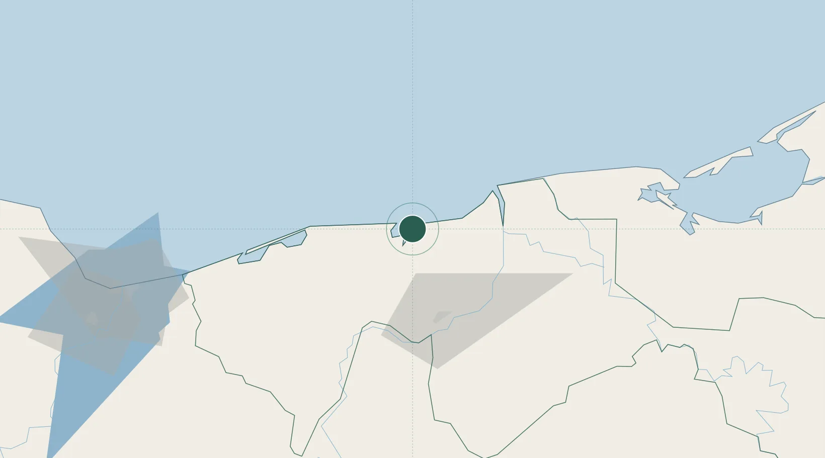
Hub Profile
Place type
Populated place
Region
Tabasco
Population
752
Time zone
America/Mexico_City
Elevation
5 m
Location
Nearby Logistics Neighbours
Cities
- 1Dos Bocas Terminal14 km
- 2Frontera49 km
- 3Ciudad del Carmen134 km
- 4Rabon Grande/Coatzacoalcos141 km
- 5Pajaritos141 km
Ports
- 1Dos Bocas Terminal14 km
- 2Frontera48 km
- 3Ciudad Del Carmen131 km
- 4Coatzacoalcos144 km
- 5Nanchital146 km
Airports
Trade Zones
DatabookThe Record of Consolidated Knowledge
Mexico beyond logistics?