Economic Revitalization Project · Mexico
Special Economic Zone of Progreso Inactive
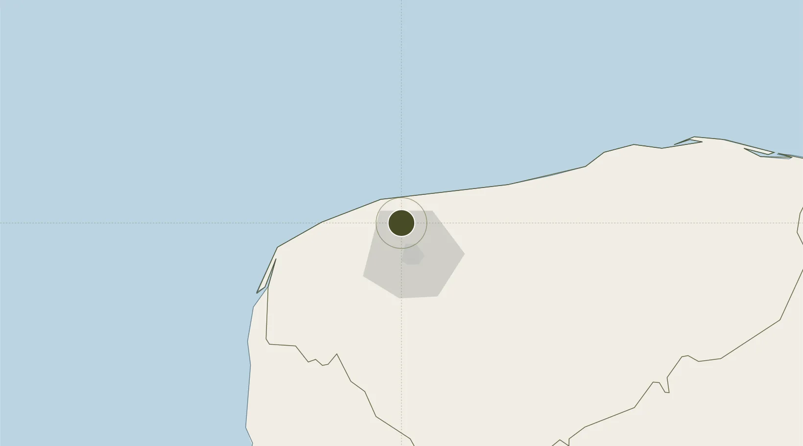
21.1598°, -89.6763°
1,774 ha
Zone area
13.8 km
Nearest port
25.7 km
Nearest airport
Gateway access
Zone profile
Zone type
Economic Revitalization Project
Region
Yucatán
Status
Inactive
Management
Public
Operator
Autoridad Federal para el Desarrollo de las Zonas Económicas Especiales
Legal framework
Established in DOF: 29/09/2017 - Abolished in DOF: 19/11/2019
Location
Nearby Logistics Neighbours
Ports
- 1Progreso14 km
- 2Campeche172 km
- 3Cayo Arcas Terminal264 km
- 4Punta Venado272 km
- 5San Miguel De Cozumel291 km
Airports
Trade Zones
- 1Special Economic Zone of Campeche199 km
- 2Corozol Free Zone326 km
- 3Special Economic Zone of Chetumal328 km
- 4San Andres Export Processing Zone337 km
- 5Price Barracks427 km
DatabookThe Record of Consolidated Knowledge
Mexico beyond logistics?