Medium airport · Mexico

Ingeniero Alberto Acuña Ongay International AirportMMCP
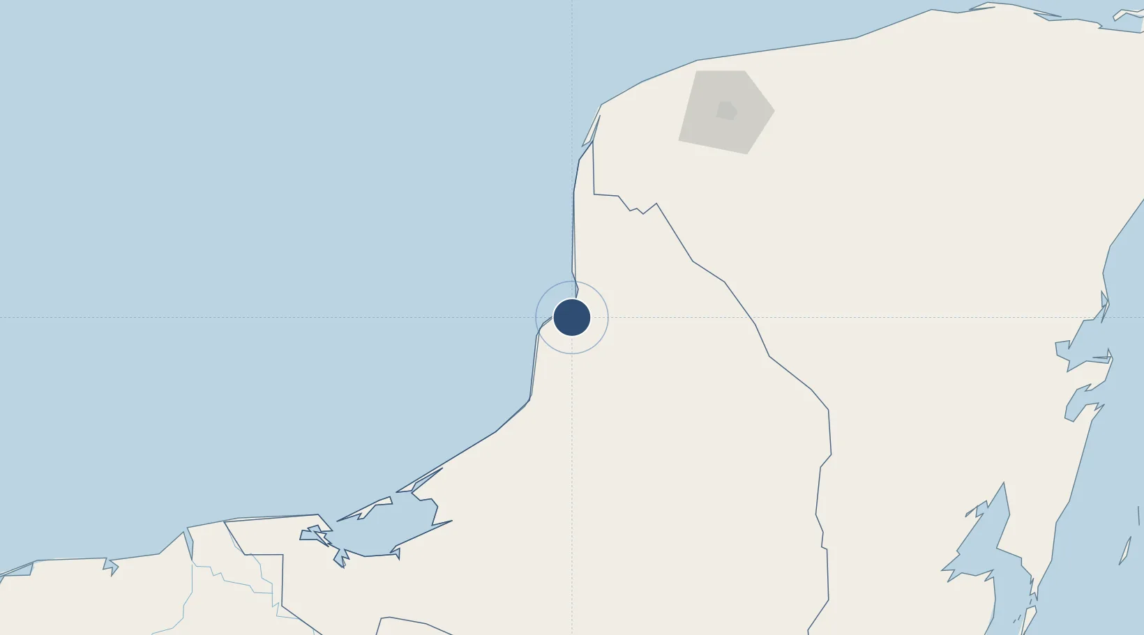
19.8160°, -90.5001°
8,202 ft
Longest runway
1
Runways
34 ft
Elevation

Runway & Layout

Ingeniero Alberto Acuña Ongay International Airport runway & taxiway layout
Runway & taxiway layout — OpenStreetMap (ODbL) / OurAirports

Radio Frequencies

TWR
118.5 MHz
CAMPECHE TWR
OurAirports

Navaids

CPE VOR-DME Campeche 116.20 MHz
OurAirports

Runways · 1

RunwayDimensions SurfaceTrue headingLit
16/34 8,202 × 148ft Asphalt 166°
OurAirports

Airport Specifications

IATA code
CPE
OurAirports
ICAO code
MMCP
OurAirports
Airport class
Medium airport
OurAirports
Scheduled service
Yes
OurAirports
Runway surface
Asphalt
OurAirports
Served city
Campeche
OurAirports

Location

Location of MMCP
Natural Earth 10m (public domain) · Campeche · MMCP · 19.82, -90.50GoogleOSMYandex

Nearby Logistics Neighbours

Airports
  1. 1Manuel Crescencio Rejón International Airport153 km
  2. 2Ciudad del Carmen International Airport188 km
  3. 3Chetumal International Airport271 km
  4. 4Corozal Airport271 km
  5. 5H.E Alfredo Martinez (Tower Hill) Airstrip282 km
Nearest neighbours — logibook spatial index (haversine) over the source coordinates
Cities
  1. 1Seybaplaya28 km
  2. 2Tenabó38 km
  3. 3Takuntah126 km
  4. 4Hunucmá143 km
  5. 5Mérida158 km
Nearest neighbours — logibook spatial index (haversine) over the source coordinates
Ports
  1. 1Campeche6 km
  2. 2Cayo Arcas Terminal160 km
  3. 3Progreso185 km
  4. 4Ciudad Del Carmen195 km
  5. 5Frontera267 km
Nearest neighbours — logibook spatial index (haversine) over the source coordinates
Trade Zones
  1. 1Special Economic Zone of Campeche26 km
  2. 2Special Economic Zone of Progreso172 km
  3. 3Corozol Free Zone266 km
  4. 4San Andres Export Processing Zone272 km
  5. 5Special Economic Zone of Chetumal273 km
Nearest neighbours — logibook spatial index (haversine) over the source coordinates
DatabookThe Record of Consolidated Knowledge
Mexico beyond logistics?
Browse databook

All Sources

AirportsOurAirports
Public domain
Portsthe NGA World Port Index
Public domain (US gov)
LocationsUN/LOCODE
UN/LOCODE — free
Trade Zonesthe World Bank SEZ database
CC BY 4.0
Trade ZonesOpen Zone Map
CC BY
InfrastructureOpenStreetMap
ODbL 1.0
← Mexico airports