Runway & Layout
Airport Specifications
Airport class
Heliport
Scheduled service
Yes
Served city
Villahermosa
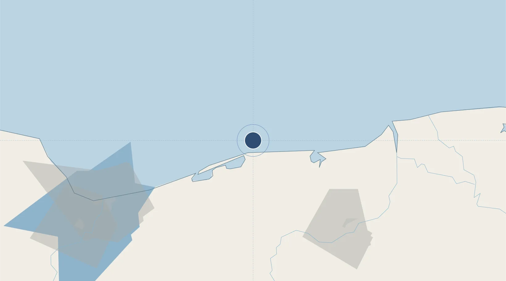
Location
Nearby Logistics Neighbours
Airports
Cities
- 1Dos Bocas Terminal36 km
- 2Chiltepec47 km
- 3Frontera94 km
- 4Rabon Grande/Coatzacoalcos98 km
- 5Pajaritos101 km
Ports
- 1Dos Bocas Terminal33 km
- 2Frontera92 km
- 3Coatzacoalcos102 km
- 4Nanchital106 km
- 5Minatitlan131 km
Trade Zones
DatabookThe Record of Consolidated Knowledge
Mexico beyond logistics?