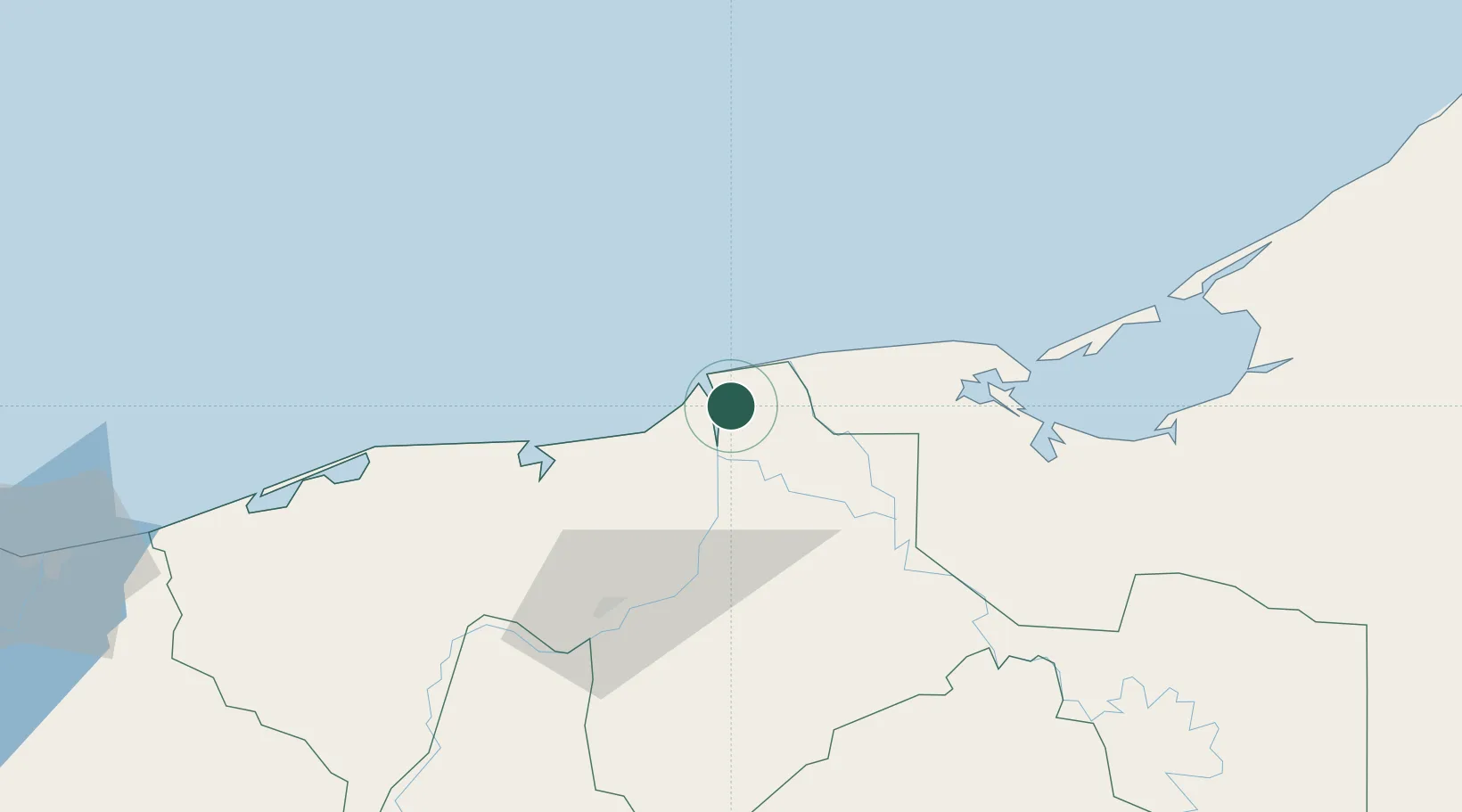
UN/LOCODE hub · Mexico
MXFRN

Frontera

18.5333°, -92.6333°
22,795
Population
1
Transport functions

Transport Functions

Port
Frontera is also a profiled seaport →
UN/LOCODE

Hub Profile

Place type
Populated place
GeoNames
Region
Tabasco
GeoNames
Population
22,795
GeoNames
Time zone
America/Mexico_City
GeoNames
Elevation
5 m
GeoNames

Location

Location of MXFRN
Natural Earth 10m (public domain) · Tabasco · MXFRN · 18.53, -92.63GoogleOSMYandex

Nearby Logistics Neighbours

Cities
  1. 1Chiltepec49 km
  2. 2Dos Bocas Terminal58 km
  3. 3Ciudad del Carmen85 km
  4. 4Cayo Arcas Terminal140 km
  5. 5Takuntah167 km
Nearest neighbours — logibook spatial index (haversine) over the source coordinates
Ports
  1. 1Dos Bocas Terminal63 km
  2. 2Ciudad Del Carmen82 km
  3. 3Coatzacoalcos193 km
  4. 4Cayo Arcas Terminal194 km
  5. 5Nanchital195 km
Nearest neighbours — logibook spatial index (haversine) over the source coordinates
Airports
  1. 1Carlos Rovirosa Pérez International Airport63 km
  2. 2Ciudad del Carmen International Airport89 km
  3. 3Cantarell II Platform Helipad94 km
  4. 4Terán Air Base208 km
  5. 5Minatitlán/Coatzacoalcos International Airport211 km
Nearest neighbours — logibook spatial index (haversine) over the source coordinates
Trade Zones
  1. 1Zona Economica Especial de Tabasco66 km
  2. 2Special Economic Zone of Coatzacoalcos202 km
  3. 3Special Economic Zone of Campeche242 km
  4. 4Special Economic Zone of Salina Cruz383 km
  5. 5Special Economic Zone of Progreso425 km
Nearest neighbours — logibook spatial index (haversine) over the source coordinates
DatabookThe Record of Consolidated Knowledge
Mexico beyond logistics?
Browse databook

All Sources

LocationsUN/LOCODE
UN/LOCODE — free
LocationsGeoNames
CC BY 4.0
Portsthe NGA World Port Index
Public domain (US gov)
AirportsOurAirports
Public domain
Trade Zonesthe World Bank SEZ database
CC BY 4.0
Trade ZonesOpen Zone Map
CC BY
← Mexico locations