Channel & Berth Profile
Pilotage, Tugs & Services
Pilotage compulsoryYES
Pilotage availableYES
Tug assistanceYES
Salvage tugsNO
Potable waterYES
Facilities & Capabilities
Container—
Ro-Ro—
Liquid bulk—
Dry bulk—
Oil terminal—
Break bulkYES
Dry dock—
RepairsNO
BunkeringYES
Rail link—
Dangerous cargo—
ISPS security—
Harbour Specifications
Harbour size
Very Small
Harbour type
River (Natural)
Shelter
Good
Water body
Gulf of Mexico; North Atlantic Ocean
Tidal range
1.2 m
Overhead limit
Yes
Pilotage
Yes
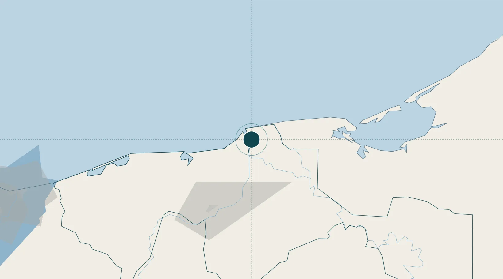
Location
Nearby Logistics Neighbours
Ports
- 1Dos Bocas Terminal61 km
- 2Ciudad Del Carmen83 km
- 3Coatzacoalcos191 km
- 4Nanchital194 km
- 5Cayo Arcas Terminal195 km
Cities
- 1Chiltepec48 km
- 2Dos Bocas Terminal56 km
- 3Ciudad del Carmen87 km
- 4Cayo Arcas Terminal141 km
- 5Takuntah168 km
Airports
Trade Zones
DatabookThe Record of Consolidated Knowledge
Mexico beyond logistics?