Channel & Berth Profile
Pilotage, Tugs & Services
Pilotage compulsoryYES
Pilotage availableYES
Tug assistanceYES
Shore powerYES
Potable waterYES
Diesel bunkersYES
MedicalYES
Garbage disposalYES
Facilities & Capabilities
Container—
Ro-Ro—
Liquid bulk—
Dry bulk—
Oil terminal—
Break bulk—
Dry dock—
RepairsNO
BunkeringYES
Rail link—
Dangerous cargo—
ISPS security—
Harbour Specifications
Harbour size
Very Small
Harbour type
Coastal (Breakwater)
Shelter
Fair
Water body
Mediterranean Sea; North Atlantic Ocean
Overhead limit
Yes
Pilotage
Yes
Liner Connectivity
13.8
PLSCI
Port Liner Shipping Connectivity Index for Motril, as published by UNCTAD for the latest available quarter. Higher values indicate stronger scheduled liner-shipping integration.
Shown relative to the highest per-port PLSCI in the dataset (1,657.9).
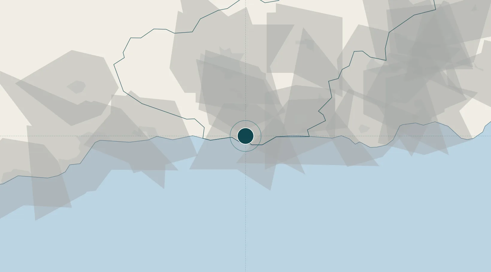
Location
Nearby Logistics Neighbours
Ports
- 1Adra43 km
- 2Malaga80 km
- 3Almeria94 km
- 4Puerto De Carboneras148 km
- 5Puerto De Garrucha159 km
Airports
- 1Armilla Air Base44 km
- 2F.G.L. Airport Granada-Jaén Airport54 km
- 3Málaga-Costa del Sol Airport88 km
- 4Almería Airport103 km
- 5Córdoba Airport169 km
Trade Zones
- 1Depósito Franco de Málaga95 km
- 2Melilla Autonomous Community170 km
- 3Nador WestMed Free Zone171 km
- 4Ait Kamra Economic Activity Zone182 km
- 5Depósito Franco de Algeciras185 km
DatabookThe Record of Consolidated Knowledge
Spain beyond logistics?