Transport Functions
Port
Airport
Hub Profile
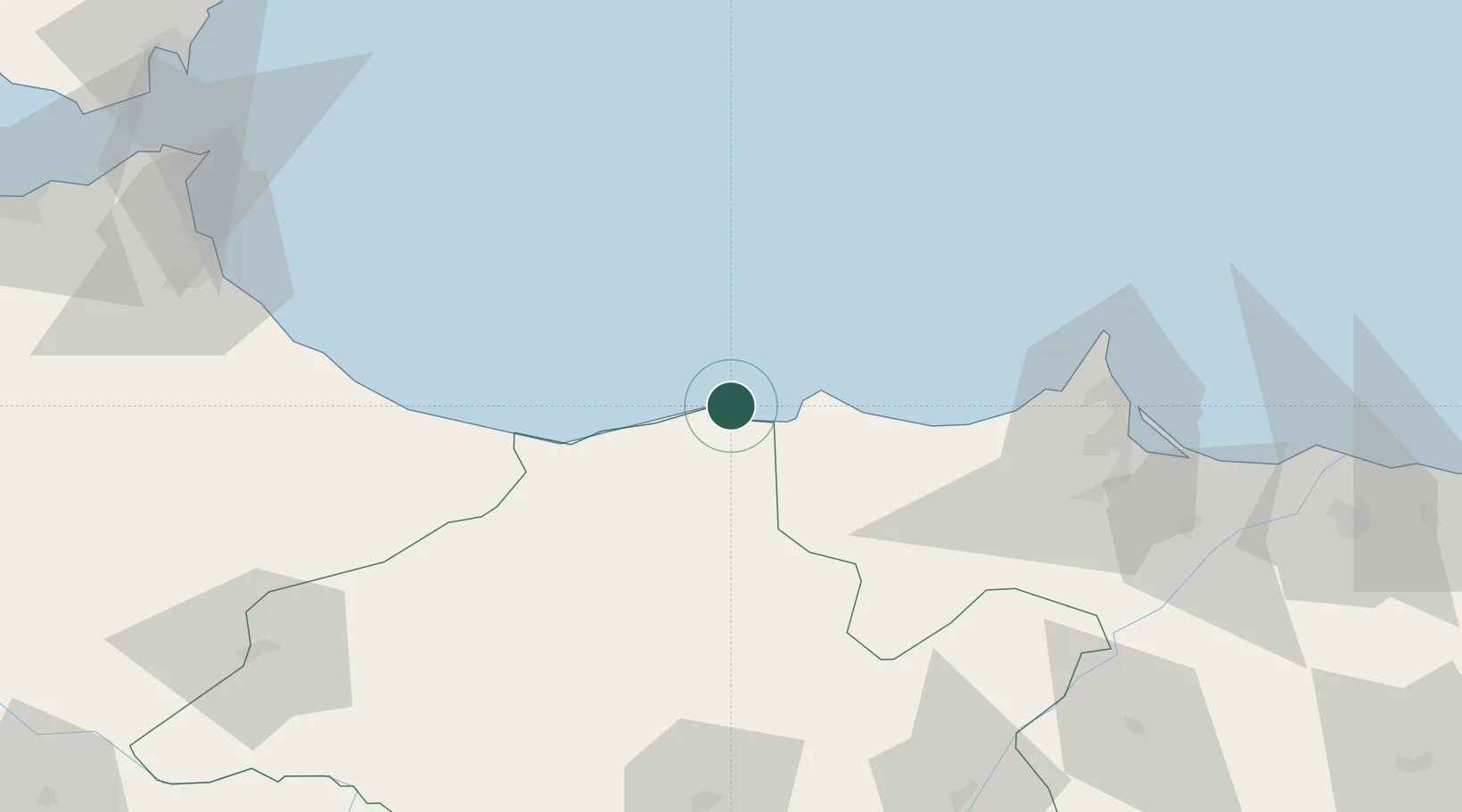
Place type
Provincial seat
Region
Tanger-Tetouan-Al Hoceima
Population
395,644
Time zone
Africa/Casablanca
Elevation
74 m
Location
Nearby Logistics Neighbours
Ports
- 1Port Nador91 km
- 2Ceuta145 km
- 3Tangier-Mediterranean160 km
- 4Algeciras167 km
- 5Malaga169 km
Airports
- 1Cherif Al Idrissi Airport12 km
- 2Nador Al Aaroui International Airport87 km
- 3Melilla Airport89 km
- 4Sania Ramel Airport131 km
- 5Ceuta Heliport143 km
Trade Zones
DatabookThe Record of Consolidated Knowledge
Morocco beyond logistics?