Transport Functions
Port
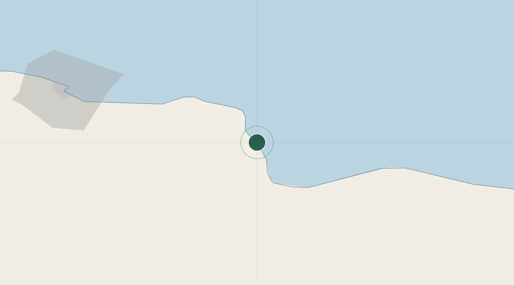
Location
Nearby Logistics Neighbours
Cities
- 1Sallum23 km
- 2Marsa El Hariga109 km
- 3Tobruk111 km
- 4Darnah257 km
- 5Polychnitos Lesvou278 km
Ports
- 1Mersa Tobruq111 km
- 2Mersa Matruh207 km
- 3Darnah256 km
- 4Kali Limenes353 km
- 5El Hamra Oil Terminal368 km
Airports
- 1Tobruk International Airport113 km
- 2Bombah Airport202 km
- 3Mersa Matruh International Airport207 km
- 4Siwa Oasis North Airport272 km
- 5Al Abraq International Airport317 km
Trade Zones
- 1Tobruk Free Zone112 km
- 2New Alamein City Investment Zone376 km
- 3Free Zone of Heraklion382 km
- 4Alexandria Public Free Zone451 km
- 5Venus International Free Zone451 km
DatabookThe Record of Consolidated Knowledge
Libya beyond logistics?