Medium airport · Tanzania
Pemba AirportHTPE
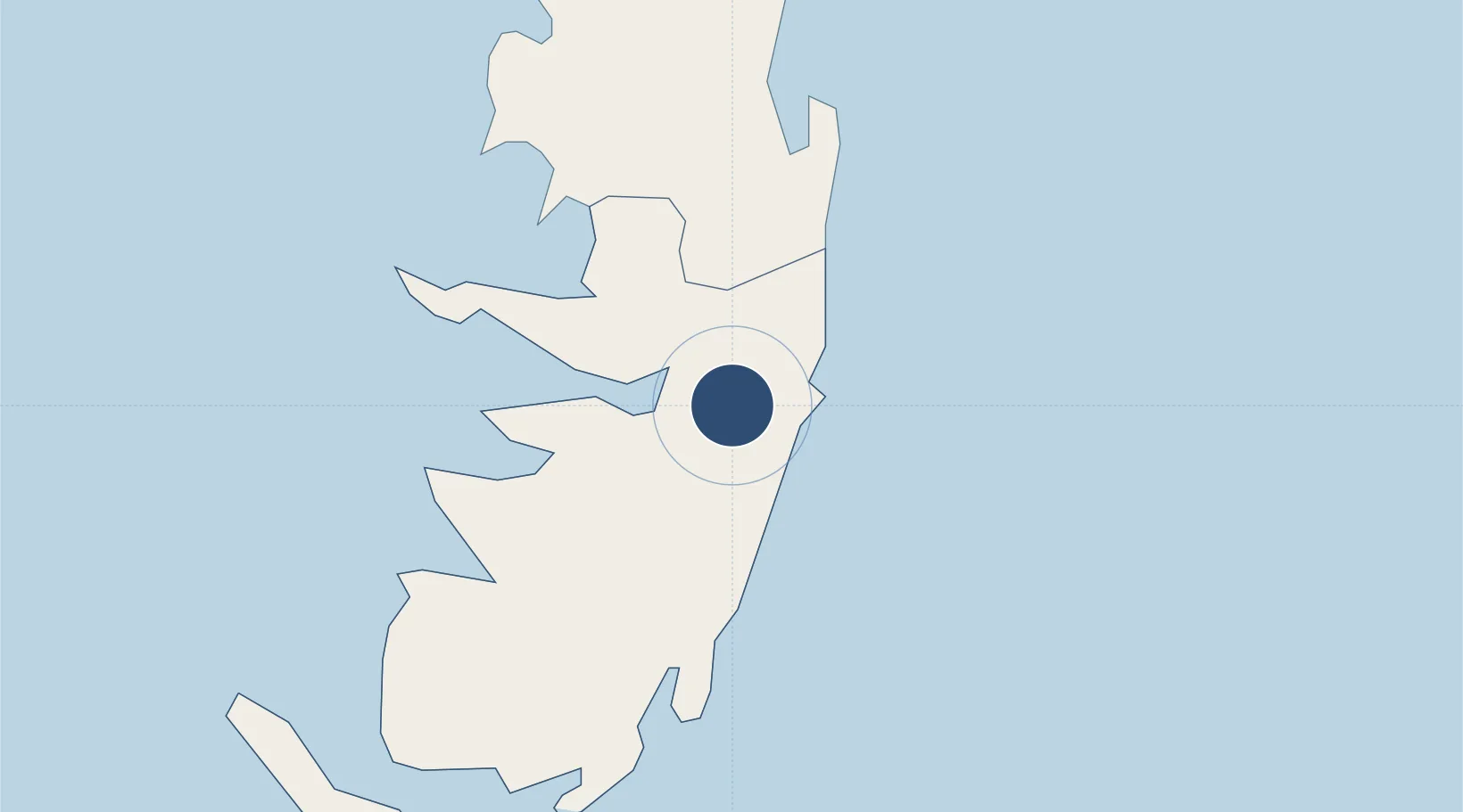
-5.2573°, 39.8114°
5,003 ft
Longest runway
1
Runways
80 ft
Elevation
Runway & Layout

Radio Frequencies
TWR
122.5 MHz
Navaids
PA NDB Pemba 345 kHz
Runways · 1
| Runway | Dimensions | Surface | True heading | Lit |
|---|---|---|---|---|
| 02/20 | 5,003 × 98ft | Asphalt | 022° | ✓ |
Airport Specifications
IATA code
PMA
ICAO code
HTPE
Airport class
Medium airport
Scheduled service
No
Runway surface
Asphalt
Served city
Chake Chake
Location
Nearby Logistics Neighbours
Airports
Cities
- 1Tanga81 km
- 2Shimoni83 km
- 3Zanzibar121 km
- 4Mombasa138 km
- 5Dar es Salaam186 km
Ports
- 1Tanga79 km
- 2Zanzibar123 km
- 3Mombasa133 km
- 4Kilifi181 km
- 5Dar Es Salaam182 km
Trade Zones
DatabookThe Record of Consolidated Knowledge
Tanzania beyond logistics?