Transport Functions
Road
Multimodal
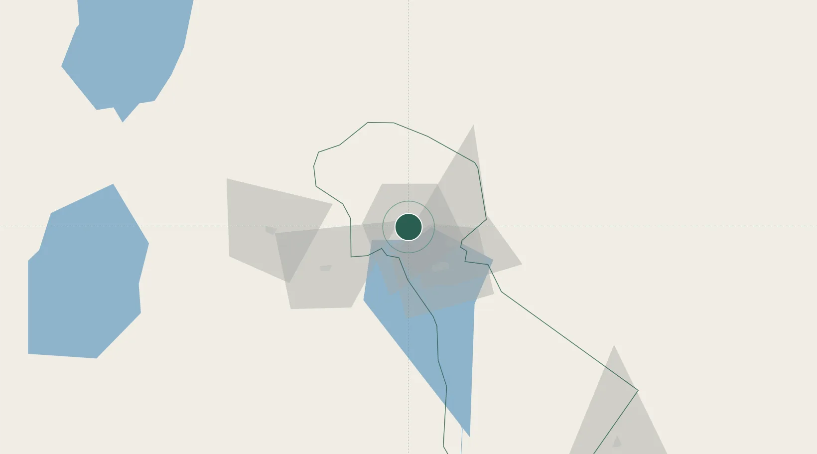
Hub Profile
Place type
Regional capital
Region
Kilimanjaro
Population
221,733
Time zone
Africa/Dar_es_Salaam
Elevation
854 m
Location
Nearby Logistics Neighbours
Airports
- 1Kilimanjaro International Airport30 km
- 2Arusha Airport78 km
- 3Amboseli Airport79 km
- 4Lake Manyara Airport168 km
- 5Jomo Kenyatta International Airport230 km
Trade Zones
DatabookThe Record of Consolidated Knowledge
Tanzania beyond logistics?