Transport Functions
Port
Hub Profile
Region
35
Location
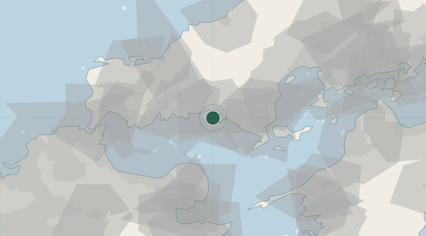
Nearby Logistics Neighbours
Cities
- 1Tokuyama6 km
- 2Mitajiri17 km
- 3Hofu19 km
- 4Nakanoseki20 km
- 5Tsuzu Yamaguchi40 km
Airports
- 1JASDF Hofu Airfield21 km
- 2Yamaguchi Ube Airport46 km
- 3Iwakuni Kintaikyo Airport47 km
- 4Oita Airport58 km
- 5Kitakyushu Airport70 km
Trade Zones
- 1Yamaguchi Next-Generation Agricultural Production Structure Establishment Special Zone17 km
- 2Hiroshima Prefecture Imabari City National Strategic Special Zone76 km
- 3Morisato Kairenkan Takatsu River Basin Hometown Concept Special Zone77 km
- 4Onomichi Regional Medical Cooperation Promotion Special Zone125 km
- 5Saijō Agricultural Innovation City General Special Zone129 km
DatabookThe Record of Consolidated Knowledge
Japan beyond logistics?