Channel & Berth Profile
Pilotage, Tugs & Services
Pilotage compulsoryNO
Pilotage availableYES
Pilotage advisableYES
Tug assistanceYES
Shore powerYES
Potable waterYES
Diesel bunkersYES
Facilities & Capabilities
Container—
Ro-Ro—
Liquid bulk—
Dry bulk—
Oil terminal—
Break bulk—
Dry dockNO
RepairsNO
BunkeringYES
Rail linkYES
Dangerous cargo—
ISPS security—
Harbour Specifications
Harbour size
Small
Harbour type
Coastal (Breakwater)
Shelter
Good
Water body
Sea of Japan; North Pacific Ocean
Tidal range
3 m
Overhead limit
No
Pilotage
No
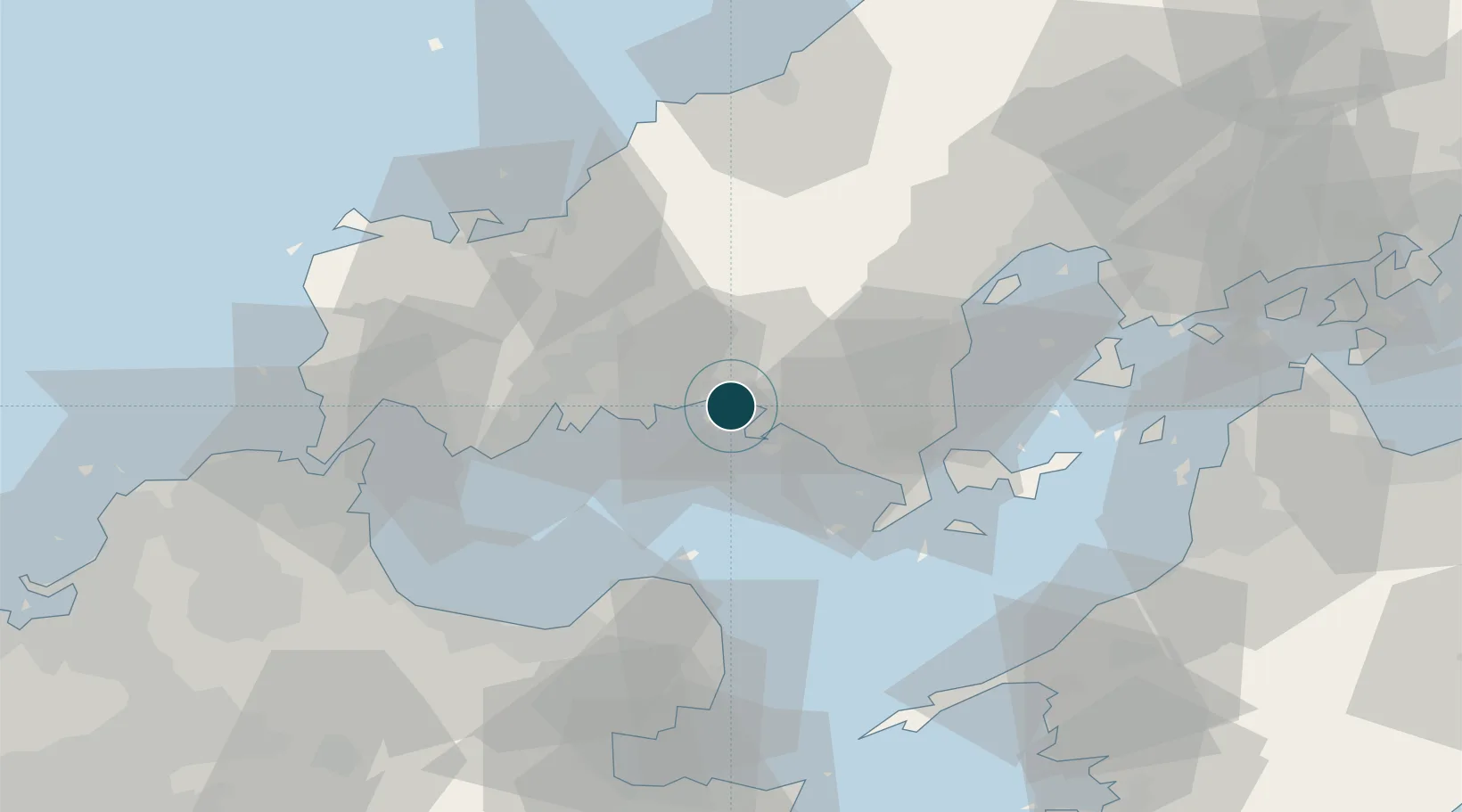
Location
Nearby Logistics Neighbours
Cities
- 1Tokuyamakudamatsu4 km
- 2Tokuyama4 km
- 3Mitajiri15 km
- 4Hofu18 km
- 5Nakanoseki19 km
Airports
- 1JASDF Hofu Airfield19 km
- 2Yamaguchi Ube Airport45 km
- 3Iwakuni Kintaikyo Airport48 km
- 4Oita Airport62 km
- 5Kitakyushu Airport69 km
Trade Zones
- 1Yamaguchi Next-Generation Agricultural Production Structure Establishment Special Zone19 km
- 2Morisato Kairenkan Takatsu River Basin Hometown Concept Special Zone74 km
- 3Hiroshima Prefecture Imabari City National Strategic Special Zone76 km
- 4Onomichi Regional Medical Cooperation Promotion Special Zone125 km
- 5Higashi Kyushu Medical Valley Concept Special Zone130 km
DatabookThe Record of Consolidated Knowledge
Japan beyond logistics?