Transport Functions
Rail
Road
Hub Profile
Region
21
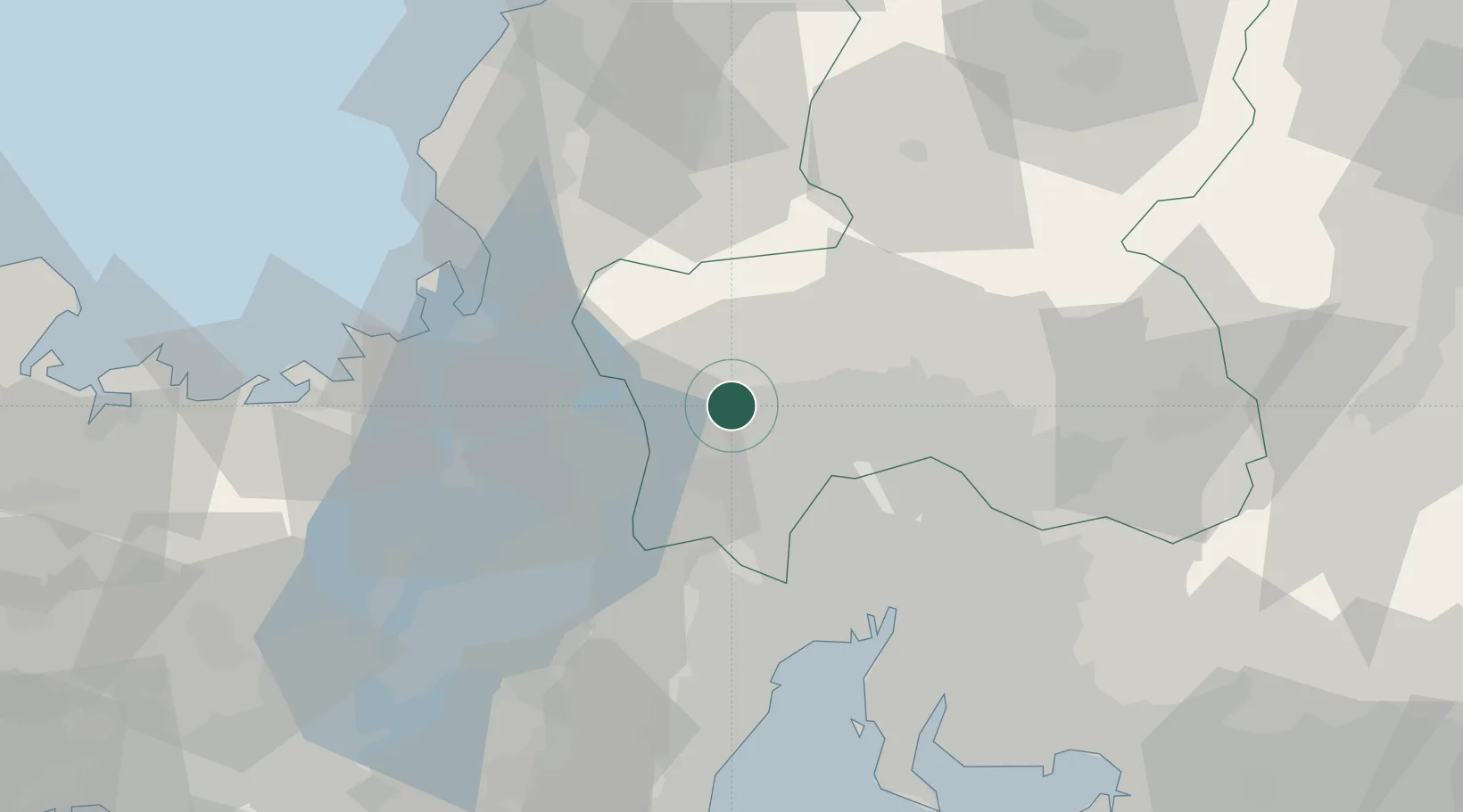
Location
Nearby Logistics Neighbours
Cities
- 1Yamagata20 km
- 2Yoro20 km
- 3Wanouchi, Gifu23 km
- 4Takashima26 km
- 5Kakamigahara28 km
Ports
- 1Tsuruga Ko49 km
- 2Nagoya Ko54 km
- 3Yokkaichi58 km
- 4Fukui73 km
- 5Kinuura Ko79 km
Airports
Trade Zones
DatabookThe Record of Consolidated Knowledge
Japan beyond logistics?