Seaport · Japan
Maizuru KoJPMAI
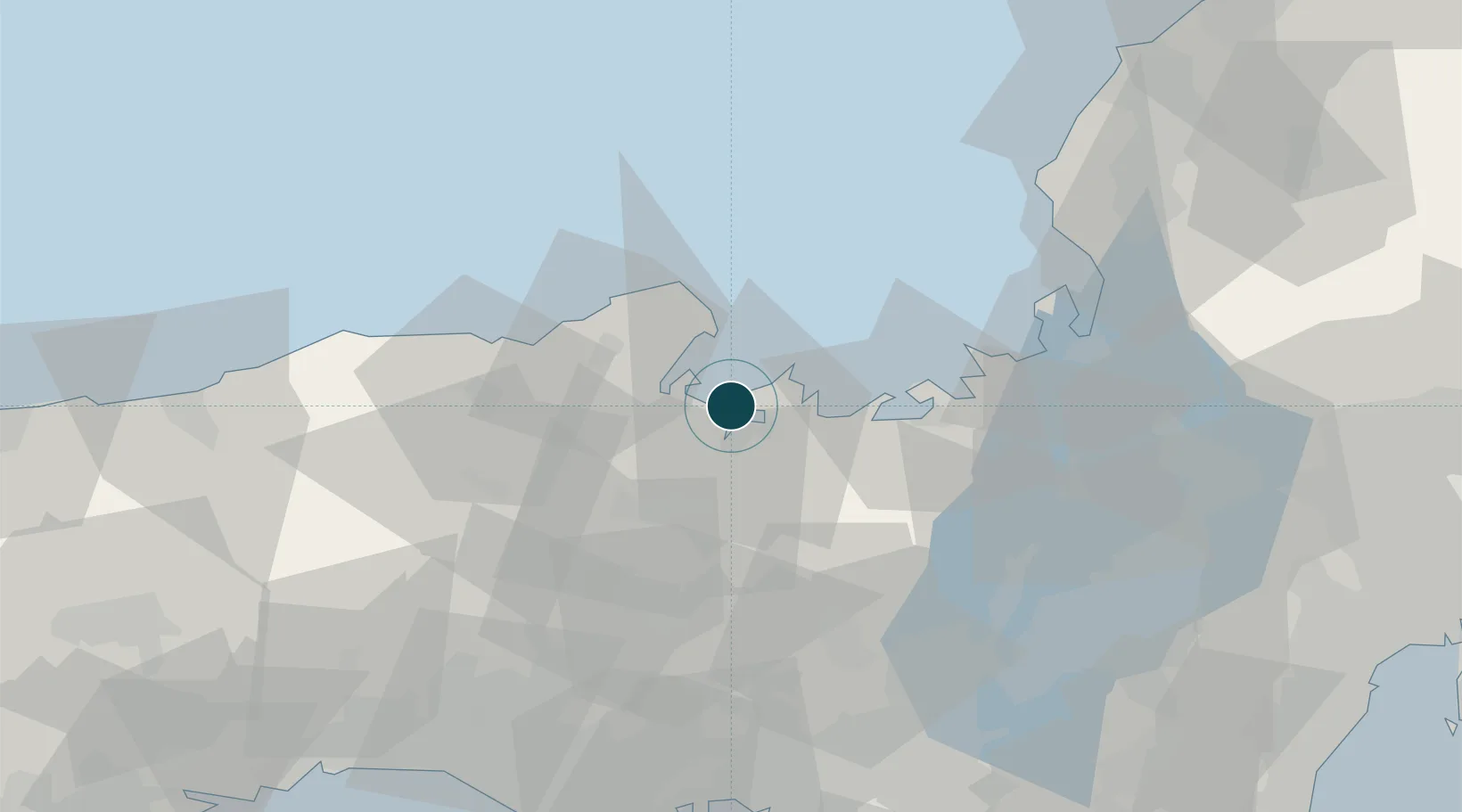
35.5167°, 135.3333°
9.4 m
Channel depth
2
Container terminals
19.1
Port liner connectivity
Channel & Berth Profile
Pilotage, Tugs & Services
Pilotage compulsoryNO
Pilotage availableYES
Pilotage advisableYES
Tug assistanceYES
Shore powerYES
Potable waterYES
Diesel bunkersYES
MedicalYES
Garbage disposalYES
Facilities & Capabilities
Container—
Ro-Ro—
Liquid bulk—
Dry bulk—
Oil terminal—
Break bulk—
Dry dockNO
RepairsNO
BunkeringYES
Rail linkYES
Dangerous cargo—
ISPS security—
Harbour Specifications
Harbour size
Small
Harbour type
Coastal (Natural)
Shelter
Fair
Water body
Sea of Japan; North Pacific Ocean
Overhead limit
Yes
Pilotage
No
Liner Connectivity
19.1
PLSCI
Port Liner Shipping Connectivity Index for Maizuru Ko, as published by UNCTAD for the latest available quarter. Higher values indicate stronger scheduled liner-shipping integration.
Shown relative to the highest per-port PLSCI in the dataset (1,657.9).
Location
Container Terminals · 2
MAIZURU NO. 2 WHARF, NO. 2 BERTH
KB09C KYOTO MAIZURU PORT AUTHORITY
MAIZURU INTERNATIONAL WHARF
MIW KYOTO MAIZURU PORT AUTHORITY
Nearby Logistics Neighbours
Ports
- 1Miyazu12 km
- 2Uchiura15 km
- 3Tsuruga Ko68 km
- 4Amagasaki91 km
- 5Osaka97 km
Cities
- 1Kobe, Kyota23 km
- 2Kyotamba40 km
- 3Tamba46 km
- 4Wakasa Fukui47 km
- 5Asago48 km
Airports
- 1Konotori Tajima Airport49 km
- 2Osaka Itami International Airport82 km
- 3Kobe Airport99 km
- 4Yao Airport105 km
- 5Tottori Sand Dunes Conan Airport106 km
DatabookThe Record of Consolidated Knowledge
Japan beyond logistics?