Diversified Zone · Japan
Lake Biwa Southern Area New Industry Creation Special Zone Active
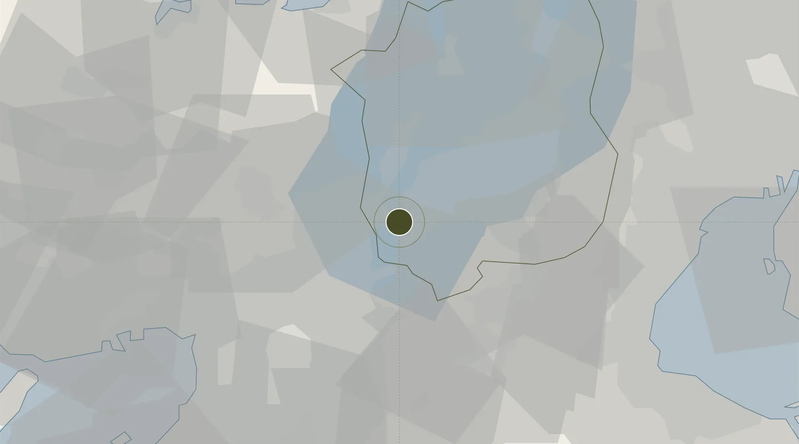
34.9658°, 135.9101°
240 ha
Zone area
55.9 km
Nearest port
47.5 km
Nearest airport
Gateway access
Zone profile
Zone type
Diversified Zone
Region
Shiga
Status
Active
Management
Public
Operator
Otsu City and Kusatsu City
Legal framework
Law on formation and activation of industrial agglomeration in Otsu
Location
Nearby Logistics Neighbours
Ports
- 1Osaka56 km
- 2Amagasaki56 km
- 3Sakai-Senboku64 km
- 4Yokkaichi66 km
- 5Uchiura72 km
Airports
- 1Osaka Itami International Airport48 km
- 2Yao Airport50 km
- 3Kobe Airport73 km
- 4Chubu Centrair International Airport83 km
- 5Kansai International Airport85 km
Cities
- 1Ritto10 km
- 2Ujitawara14 km
- 3Kyoto-Fu16 km
- 4Yasu16 km
- 5Nagaokakyo20 km
Trade Zones
- 1Kyoto City Regional Revitalization Comprehensive Special Zone14 km
- 2Nara Park Tourist Area Revitalization Comprehensive Special Zone32 km
- 3Mie Life Innovation Comprehensive Special Zone32 km
- 4Kansai Innovation International Strategic Comprehensive Special Zone50 km
- 5Nagahama Bio-Life Science Special Zone55 km
DatabookThe Record of Consolidated Knowledge
Japan beyond logistics?