Channel & Berth Profile
Pilotage, Tugs & Services
Pilotage compulsoryNO
Pilotage availableYES
Pilotage advisableYES
Tug assistanceYES
Potable waterYES
MedicalYES
Facilities & Capabilities
Container—
Ro-Ro—
Liquid bulk—
Dry bulk—
Oil terminal—
Break bulk—
Dry dock—
RepairsNO
BunkeringYES
Rail linkYES
Dangerous cargo—
ISPS security—
Harbour Specifications
Harbour size
Medium
Harbour type
Coastal (Natural)
Shelter
Fair
Water body
Sea of Japan; North Pacific Ocean
Tidal range
1 m
Pilotage
No
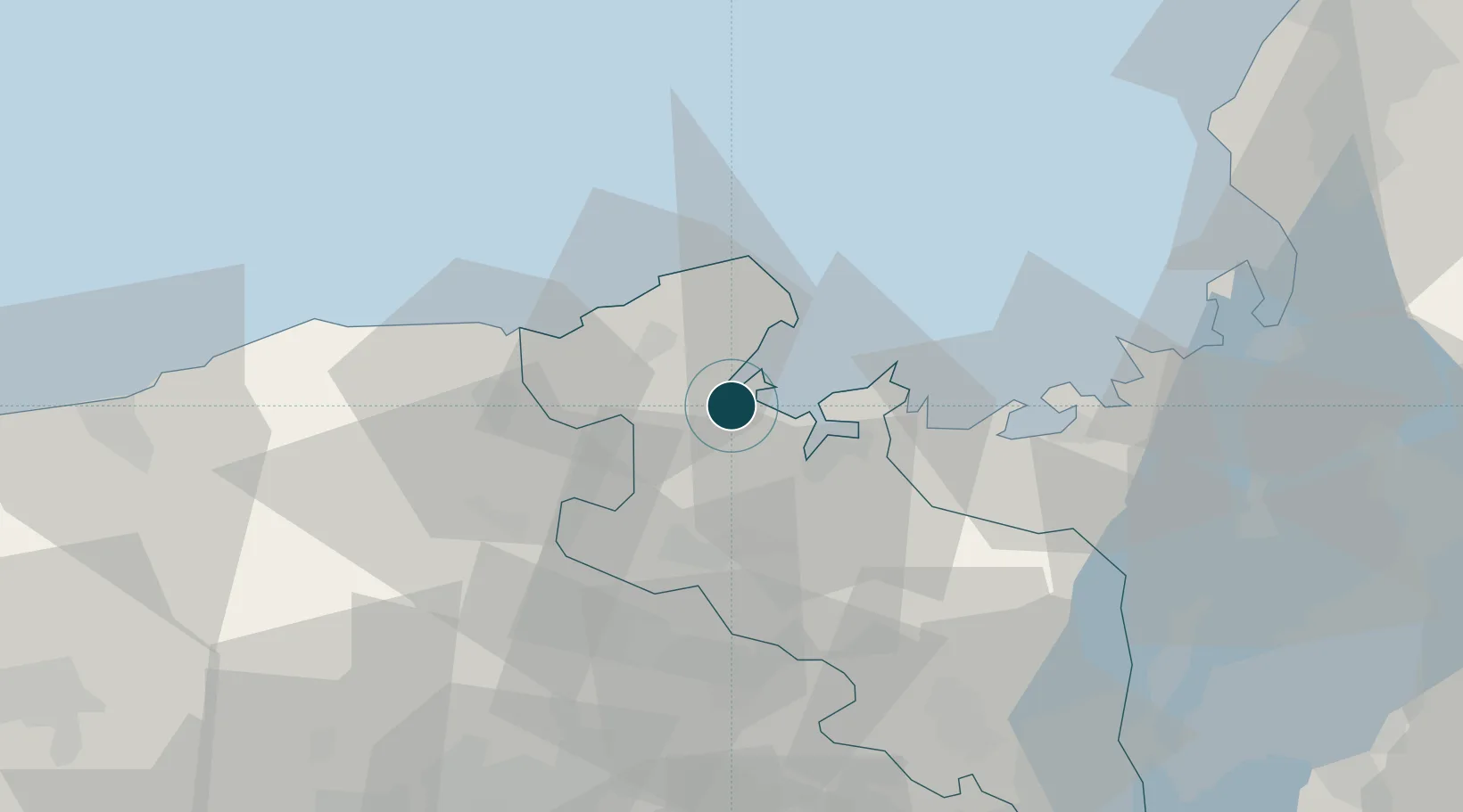
Location
Nearby Logistics Neighbours
Ports
- 1Maizuru Ko12 km
- 2Uchiura27 km
- 3Tsuruga Ko79 km
- 4Amagasaki94 km
- 5Kobe98 km
Cities
- 1Kobe, Kyota12 km
- 2Maizuru14 km
- 3Asago39 km
- 4Tamba42 km
- 5Kyotamba45 km
Airports
- 1Konotori Tajima Airport37 km
- 2Osaka Itami International Airport87 km
- 3Tottori Sand Dunes Conan Airport94 km
- 4Kobe Airport100 km
- 5Yao Airport111 km
DatabookThe Record of Consolidated Knowledge
Japan beyond logistics?