Transport Functions
Road
Multimodal
Hub Profile
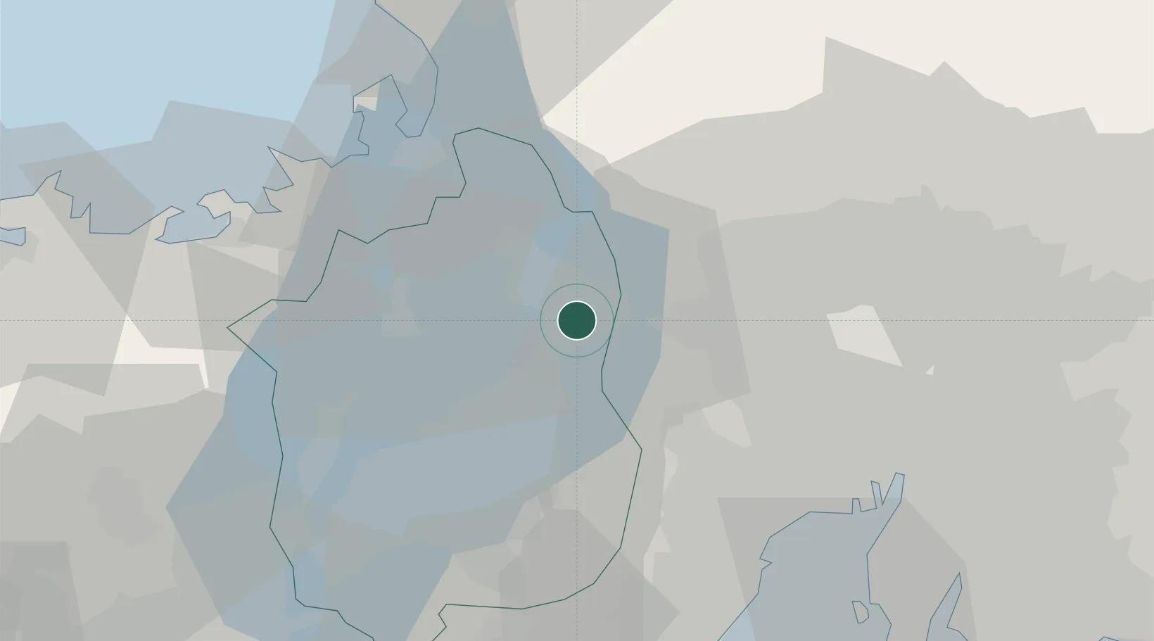
Place type
Provincial seat
Region
Shiga
Population
46,976
Time zone
Asia/Tokyo
Elevation
107 m
Location
Nearby Logistics Neighbours
Cities
- 1Maibara6 km
- 2Taga16 km
- 3Yoro20 km
- 4Ibiwaga26 km
- 5Wanouchi, Gifu28 km
Ports
- 1Tsuruga Ko41 km
- 2Yokkaichi51 km
- 3Nagoya Ko58 km
- 4Uchiura78 km
- 5Kinuura Ko79 km
Airports
Trade Zones
DatabookThe Record of Consolidated Knowledge
Japan beyond logistics?