Transport Functions
Multimodal
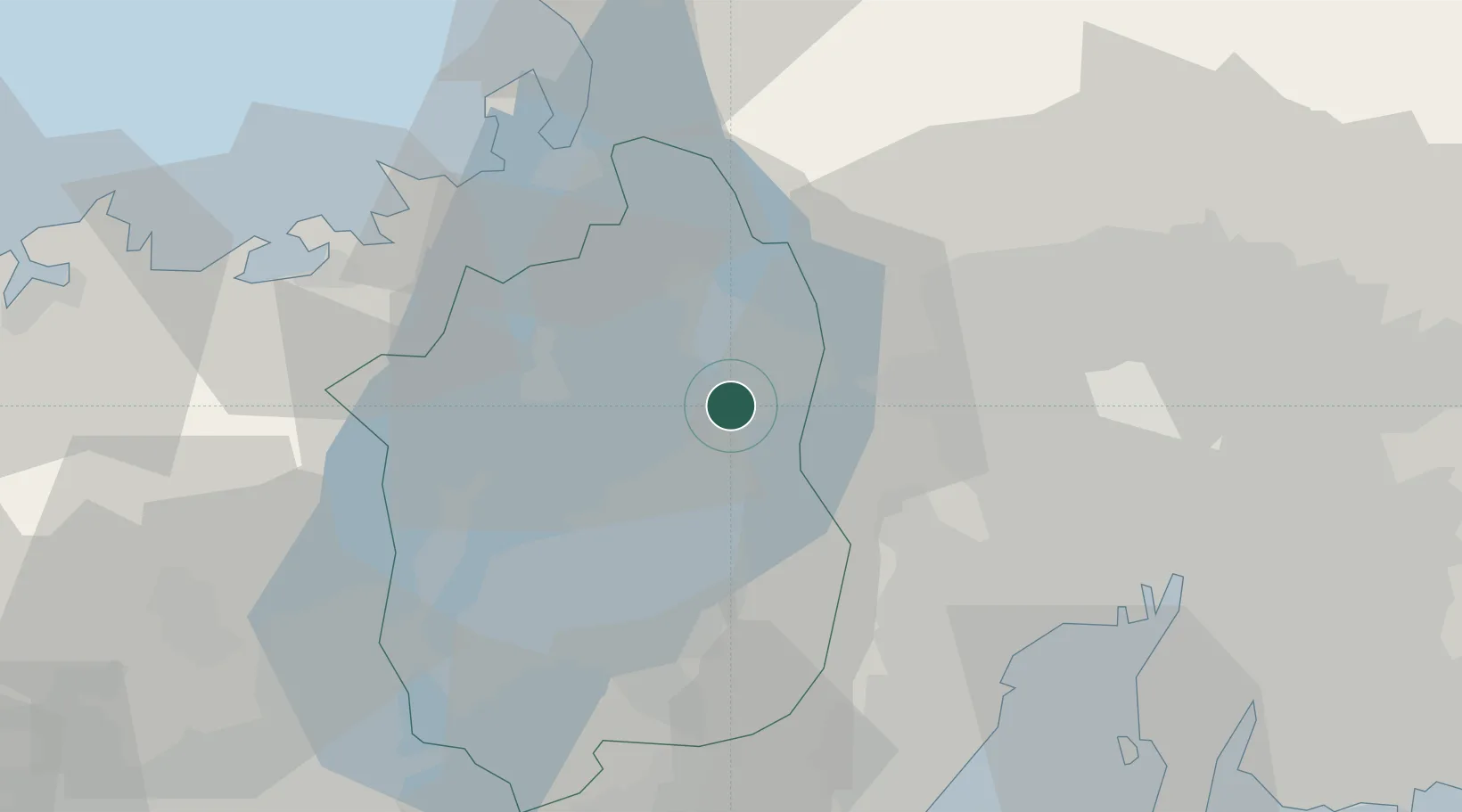
Hub Profile
Place type
Provincial seat
Region
Shiga
Population
38,259
Time zone
Asia/Tokyo
Elevation
86 m
Location
Nearby Logistics Neighbours
Cities
- 1Takashima6 km
- 2Taga11 km
- 3Yoro24 km
- 4Higashiomi26 km
- 5Ibiwaga32 km
Ports
- 1Tsuruga Ko42 km
- 2Yokkaichi50 km
- 3Nagoya Ko60 km
- 4Uchiura74 km
- 5Kinuura Ko80 km
Airports
Trade Zones
DatabookThe Record of Consolidated Knowledge
Japan beyond logistics?