Specialized Zone · Japan
Mie Life Innovation Comprehensive Special Zone Active
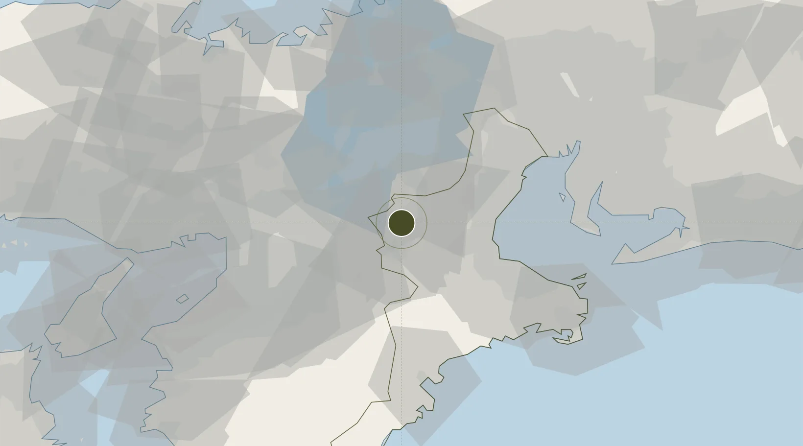
34.7502°, 136.1427°
55,817 ha
Zone area
42.2 km
Nearest port
52.2 km
Nearest airport
Gateway access
Zone profile
Zone type
Specialized Zone
Specialization
Medical
Region
Mie
Status
Active
Management
Public
Operator
Mie Prefectural Government
Legal framework
Prime Minister's 2012 Mie Life Innovation Special Zone Regional Revitalization Policy
Location
Nearby Logistics Neighbours
Ports
- 1Matsusaka42 km
- 2Yokkaichi51 km
- 3Osaka66 km
- 4Sakai-Senboku69 km
- 5Amagasaki70 km
Airports
- 1Yao Airport52 km
- 2Chubu Centrair International Airport62 km
- 3Osaka Itami International Airport64 km
- 4Kobe Airport85 km
- 5Kansai International Airport90 km
Cities
- 1Iga2 km
- 2Minamiyamashiro13 km
- 3Nabari14 km
- 4Ujitawara29 km
- 5Kizugawa30 km
Trade Zones
- 1Nara Park Tourist Area Revitalization Comprehensive Special Zone28 km
- 2Lake Biwa Southern Area New Industry Creation Special Zone32 km
- 3Kyoto City Regional Revitalization Comprehensive Special Zone46 km
- 4Kansai Innovation International Strategic Comprehensive Special Zone61 km
- 5Nagahama Bio-Life Science Special Zone68 km
DatabookThe Record of Consolidated Knowledge
Japan beyond logistics?