Economic Revitalization Project · Japan
Kyoto City Regional Revitalization Comprehensive Special Zone Active
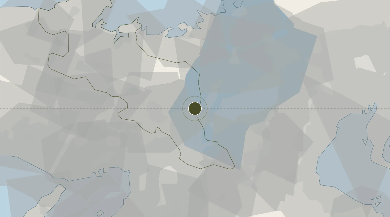
35.0577°, 135.7991°
82,783 ha
Zone area
55.0 km
Nearest port
44.9 km
Nearest airport
Gateway access
Zone profile
Zone type
Economic Revitalization Project
Region
Kyōto
Status
Active
Management
Public
Operator
Kyoto City
Legal framework
Ryokan Business and Deregulation Law Enforcement Ordinance No. 1
Location
Nearby Logistics Neighbours
Ports
- 1Amagasaki55 km
- 2Osaka56 km
- 3Uchiura58 km
- 4Sakai-Senboku66 km
- 5Maizuru Ko66 km
Airports
- 1Osaka Itami International Airport45 km
- 2Yao Airport54 km
- 3Kobe Airport71 km
- 4Kansai International Airport87 km
- 5Chubu Centrair International Airport94 km
Cities
- 1Kyoto-Fu6 km
- 2Nagaokakyo17 km
- 3Ritto19 km
- 4Yasu21 km
- 5Kameoka22 km
Trade Zones
- 1Lake Biwa Southern Area New Industry Creation Special Zone14 km
- 2Nara Park Tourist Area Revitalization Comprehensive Special Zone42 km
- 3Mie Life Innovation Comprehensive Special Zone46 km
- 4Kansai Innovation International Strategic Comprehensive Special Zone50 km
- 5Nagahama Bio-Life Science Special Zone55 km
DatabookThe Record of Consolidated Knowledge
Japan beyond logistics?