Transport Functions
Multimodal
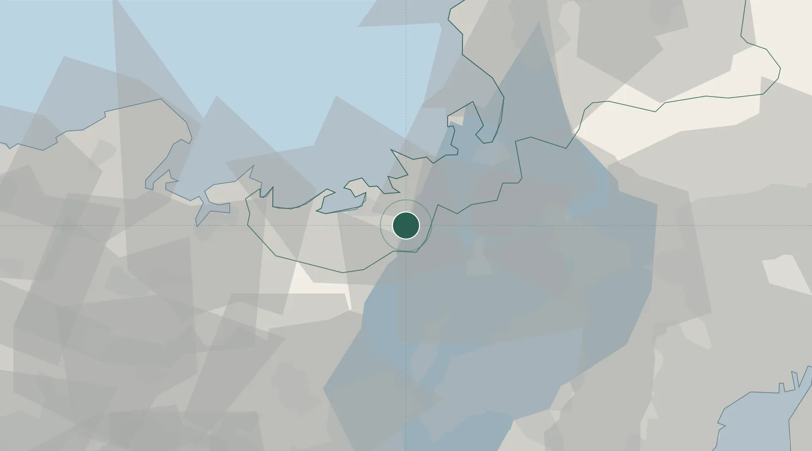
Hub Profile
Region
18
Location
Nearby Logistics Neighbours
Ports
- 1Tsuruga Ko30 km
- 2Uchiura33 km
- 3Maizuru Ko47 km
- 4Miyazu60 km
- 5Fukui76 km
Airports
- 1Osaka Itami International Airport83 km
- 2Fukui Airport84 km
- 3Gifu Airport93 km
- 4Konotori Tajima Airport97 km
- 5Yao Airport98 km
Trade Zones
DatabookThe Record of Consolidated Knowledge
Japan beyond logistics?