Channel & Berth Profile
Pilotage, Tugs & Services
Pilotage compulsoryNO
Pilotage availableYES
Tug assistanceYES
Potable waterNO
Diesel bunkersNO
Facilities & Capabilities
Container—
Ro-Ro—
Liquid bulk—
Dry bulk—
Oil terminal—
Break bulk—
Dry dock—
RepairsNO
BunkeringNO
Rail link—
Dangerous cargo—
ISPS security—
Harbour Specifications
Harbour size
Very Small
Harbour type
Coastal (Natural)
Shelter
Poor
Water body
Sea of Japan; North Pacific Ocean
Pilotage
No
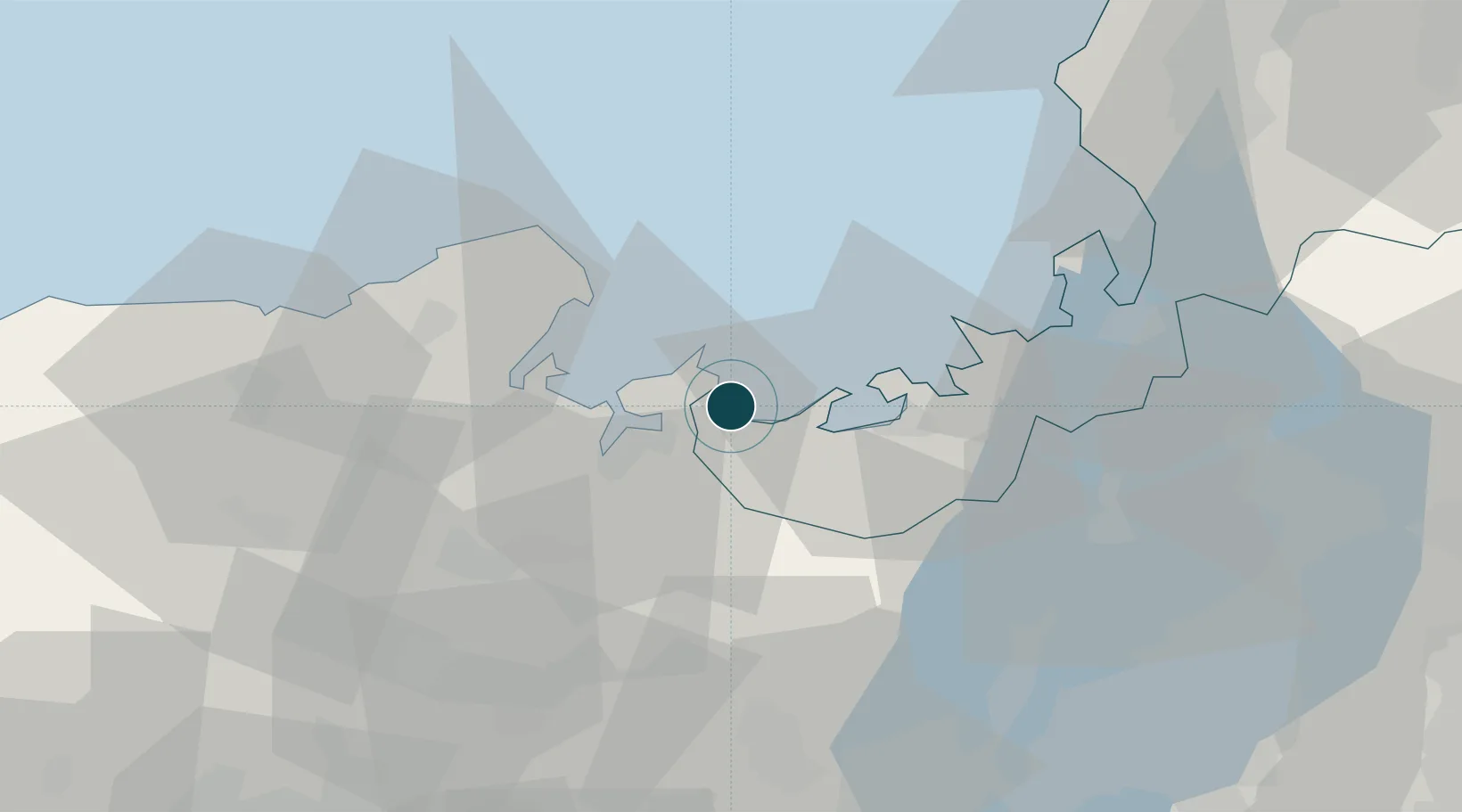
Location
Nearby Logistics Neighbours
Ports
- 1Maizuru Ko15 km
- 2Miyazu27 km
- 3Tsuruga Ko53 km
- 4Fukui88 km
- 5Amagasaki91 km
Cities
- 1Maizuru17 km
- 2Wakasa Fukui33 km
- 3Kobe, Kyota37 km
- 4Kyotamba40 km
- 5Tsuruga54 km
Airports
- 1Konotori Tajima Airport65 km
- 2Osaka Itami International Airport82 km
- 3Fukui Airport95 km
- 4Kobe Airport101 km
- 5Yao Airport103 km
DatabookThe Record of Consolidated Knowledge
Japan beyond logistics?