Large airport · Japan
Chubu Centrair International AirportRJGG
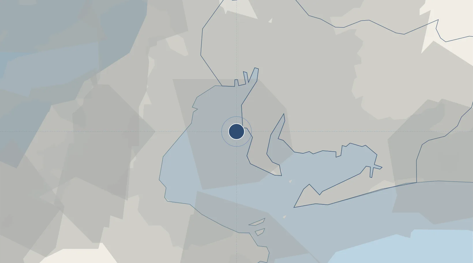
34.8584°, 136.8050°
11,483 ft
Longest runway
1
Runways
15 ft
Elevation
Runway & Layout

Radio Frequencies
ATIS
121.075 MHz
TWR
118.85 MHz
GND
121.8 MHz
CLD
121.85 MHz
APP
121.05 MHz
DEP
120 MHz
RDR
125.5 MHz
TCA
119.25 MHz
Navaids
CBE VOR-DME Chubu 117.80 MHz
Runways · 1
| Runway | Dimensions | Surface | True heading | Lit |
|---|---|---|---|---|
| 18/36 | 11,483 × 197ft | Asphalt / concrete | 169° | ✓ |
Airport Specifications
IATA code
NGO
ICAO code
RJGG
Airport class
Large airport
Scheduled service
Yes
Runway surface
Asphalt / concrete
Served city
Tokoname
Location
Nearby Logistics Neighbours
Airports
- 1Nagoya Airport / JASDF Komaki Air Base46 km
- 2Gifu Airport60 km
- 3JASDF Hamamatsu Air Base83 km
- 4Yao Airport114 km
- 5Osaka Itami International Airport125 km
Cities
- 1Agui Aichi12 km
- 2Mihama12 km
- 3Yokkaichi20 km
- 4Higashiura20 km
- 5Nagoya, Aichi21 km
Ports
- 1Kinuura Ko13 km
- 2Yokkaichi20 km
- 3Nagoya Ko24 km
- 4Atsumi32 km
- 5Matsusaka36 km
DatabookThe Record of Consolidated Knowledge
Japan beyond logistics?