UN/LOCODE hub · Japan
JPTRG
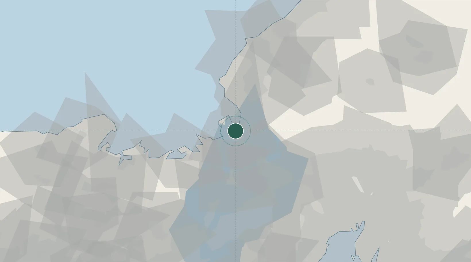
Tsuruga
35.6650°, 136.0632°
68,482
Population
1
Transport functions
2
Container terminals
Transport Functions
Port
Hub Profile
Place type
Provincial seat
Region
Fukui
Population
68,482
Time zone
Asia/Tokyo
Elevation
12 m
Logistics facilities
4
Container terminals
2
Location
Nearby Logistics Neighbours
Cities
- 1Wakasa Fukui31 km
- 2Sabae Fukui34 km
- 3Takashima43 km
- 4Maibara44 km
- 5Ibiwaga50 km
Ports
- 1Fukui46 km
- 2Uchiura54 km
- 3Maizuru Ko68 km
- 4Miyazu79 km
- 5Yokkaichi93 km
Airports
Trade Zones
DatabookThe Record of Consolidated Knowledge
Japan beyond logistics?