Transport Functions
Multimodal
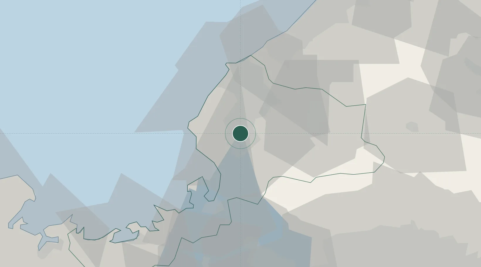
Hub Profile
Region
18
Location
Nearby Logistics Neighbours
Ports
- 1Fukui13 km
- 2Tsuruga Ko35 km
- 3Uchiura78 km
- 4Kanazawa83 km
- 5Maizuru Ko91 km
Airports
- 1Fukui Airport22 km
- 2Komatsu Airport / JASDF Komatsu Air Base53 km
- 3Gifu Airport88 km
- 4Nagoya Airport / JASDF Komaki Air Base102 km
- 5Toyama Kitokito Airport119 km
Trade Zones
- 1Nagahama Bio-Life Science Special Zone67 km
- 2Kyoto City Regional Revitalization Comprehensive Special Zone105 km
- 3Lake Biwa Southern Area New Industry Creation Special Zone112 km
- 4Asias No. 1 Aerospace Industry Cluster Formation Special Zone119 km
- 5Toyama Community-based Welfare Promotion Special Zone124 km
DatabookThe Record of Consolidated Knowledge
Japan beyond logistics?