UN/LOCODE hub · Japan
JPTOS
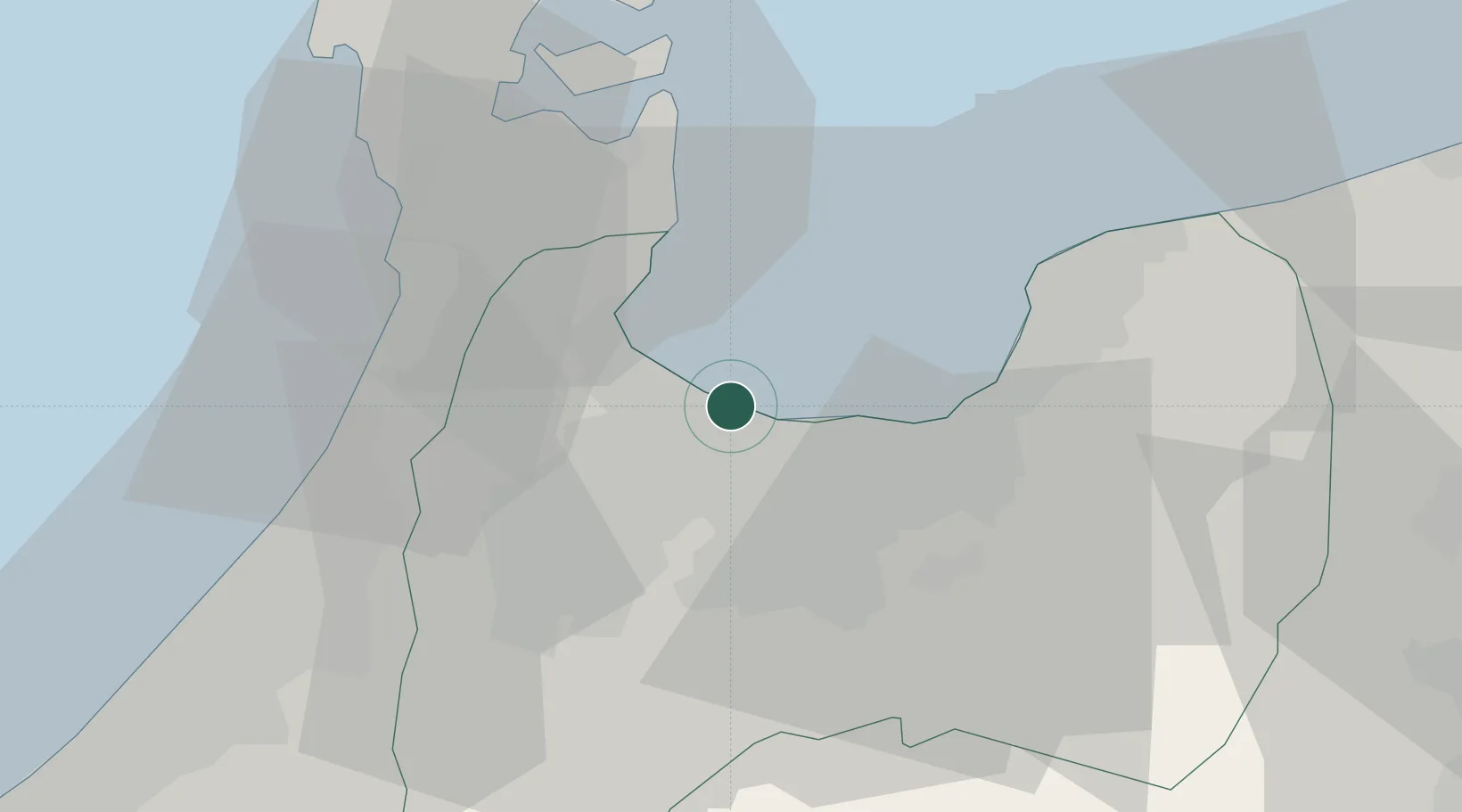
Toyamashinko
36.7747°, 137.1088°
1
Transport functions
1
Container terminals
Transport Functions
Port
Hub Profile
Region
16
Logistics facilities
2
Container terminals
1
Location
Nearby Logistics Neighbours
Cities
- 1Toyama2 km
- 2Fushikitoyama3 km
- 3Tonami21 km
- 4Tateyama22 km
- 5Nanto27 km
Ports
- 1Fushiki-Toyama2 km
- 2Nanao Ko33 km
- 3Kanazawa49 km
- 4Himekawa72 km
- 5Naoetsu Ko111 km
Airports
- 1Toyama Kitokito Airport16 km
- 2Noto Satoyama Airport59 km
- 3Komatsu Airport / JASDF Komatsu Air Base76 km
- 4Shinshu-Matsumoto Airport99 km
- 5Fukui Airport106 km
Trade Zones
- 1Toyama Community-based Welfare Promotion Special Zone1 km
- 2Nagaoka Independent Local Community Creation Special Zone152 km
- 3Gunma Environmentally Friendly Livestock Promotion Special Zone163 km
- 4Nagahama Bio-Life Science Special Zone175 km
- 5Gunma Cancer Treatment Technology Regional Revitalization Comprehensive Special Zone177 km
DatabookThe Record of Consolidated Knowledge
Japan beyond logistics?