Medium airport · Japan
Memanbetsu AirportRJCM
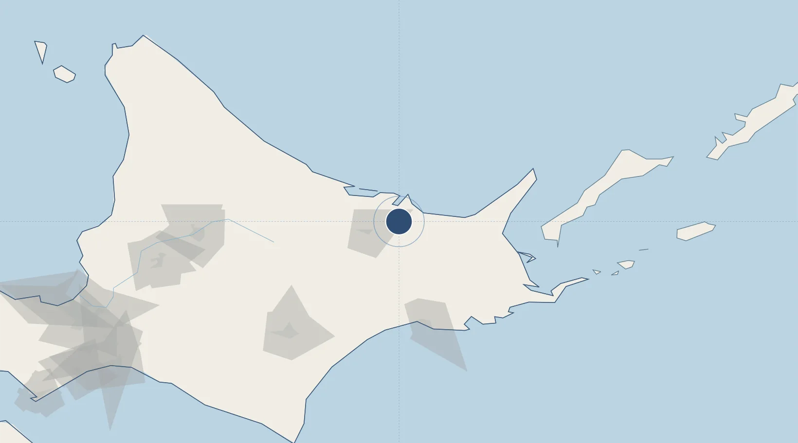
43.8806°, 144.1640°
8,202 ft
Longest runway
1
Runways
135 ft
Elevation
Runway & Layout

Radio Frequencies
TWR
118.85 MHz
Navaids
TBE VOR-DME Memanbetsu 110.85 MHz
Runways · 1
| Runway | Dimensions | Surface | True heading | Lit |
|---|---|---|---|---|
| 18/36 | 8,202 × 150ft | Asphalt | 175° | ✓ |
Airport Specifications
IATA code
MMB
ICAO code
RJCM
Airport class
Medium airport
Scheduled service
Yes
Runway surface
Asphalt
Served city
Ōzora
Location
Nearby Logistics Neighbours
Airports
- 1JASDF Kenebetsu Airfield69 km
- 2Nakashibetsu Airport72 km
- 3Monbetsu Airport77 km
- 4Kushiro Airport93 km
- 5Yuzhno-Kurilsk Mendeleyevo Airport122 km
Cities
- 1Shibetsu81 km
- 2Kushiro99 km
- 3Shiranuka104 km
- 4Yuzhno-Kuril'sk136 km
- 5Takikawa, Hokkaido186 km
Ports
- 1Abashiri Ko18 km
- 2Kushiro Ko101 km
- 3Nemuro Ko130 km
- 4Hanasaki Ko132 km
- 5Tokachi194 km
DatabookThe Record of Consolidated Knowledge
Japan beyond logistics?