UN/LOCODE hub · Japan
JPZAI

Kobe, Kyota

35.6000°, 135.1000°
1
Transport functions

Transport Functions

Multimodal
UN/LOCODE

Hub Profile

Region
26
GeoNames

Location

Location of JPZAI
Natural Earth 10m (public domain) · 26 · JPZAI · 35.60, 135.10GoogleOSMYandex

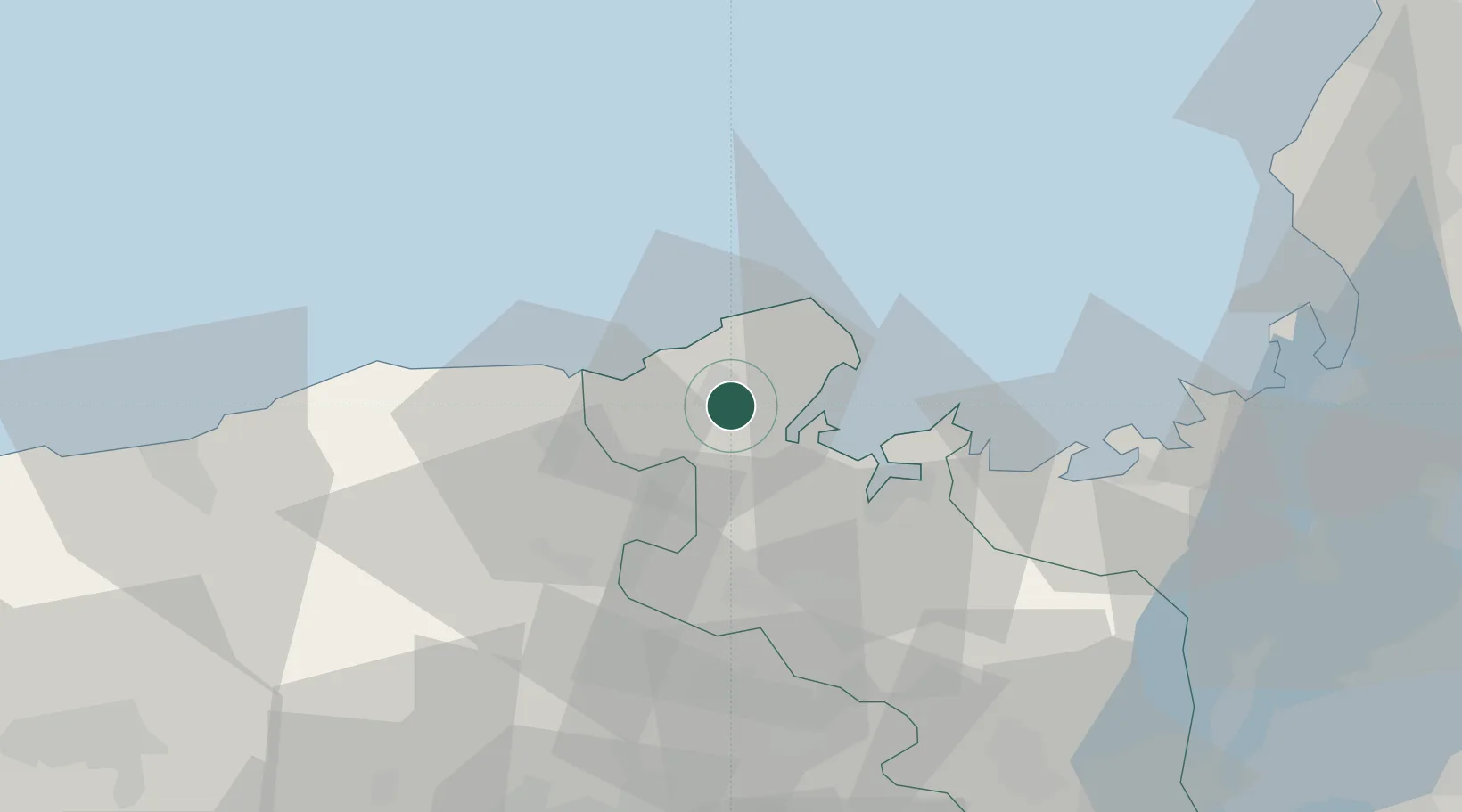
Nearby Logistics Neighbours

Cities
  1. 1Maizuru26 km
  2. 2Asago37 km
  3. 3Tamba47 km
  4. 4Kyotamba56 km
  5. 5Sasayama60 km
Nearest neighbours — logibook spatial index (haversine) over the source coordinates
Ports
  1. 1Miyazu12 km
  2. 2Maizuru Ko23 km
  3. 3Uchiura37 km
  4. 4Tsuruga Ko88 km
  5. 5Shikama101 km
Nearest neighbours — logibook spatial index (haversine) over the source coordinates
Airports
  1. 1Konotori Tajima Airport30 km
  2. 2Tottori Sand Dunes Conan Airport85 km
  3. 3Osaka Itami International Airport96 km
  4. 4Kobe Airport108 km
  5. 5Fukui Airport118 km
Nearest neighbours — logibook spatial index (haversine) over the source coordinates
DatabookThe Record of Consolidated Knowledge
Japan beyond logistics?
Browse databook

All Sources

LocationsUN/LOCODE
UN/LOCODE — free
Portsthe NGA World Port Index
Public domain (US gov)
AirportsOurAirports
Public domain
Trade Zonesthe World Bank SEZ database
CC BY 4.0
Trade ZonesOpen Zone Map
CC BY
← Japan locations