Specialized Zone · Japan
Kansai Innovation International Strategic Comprehensive Special Zone Active
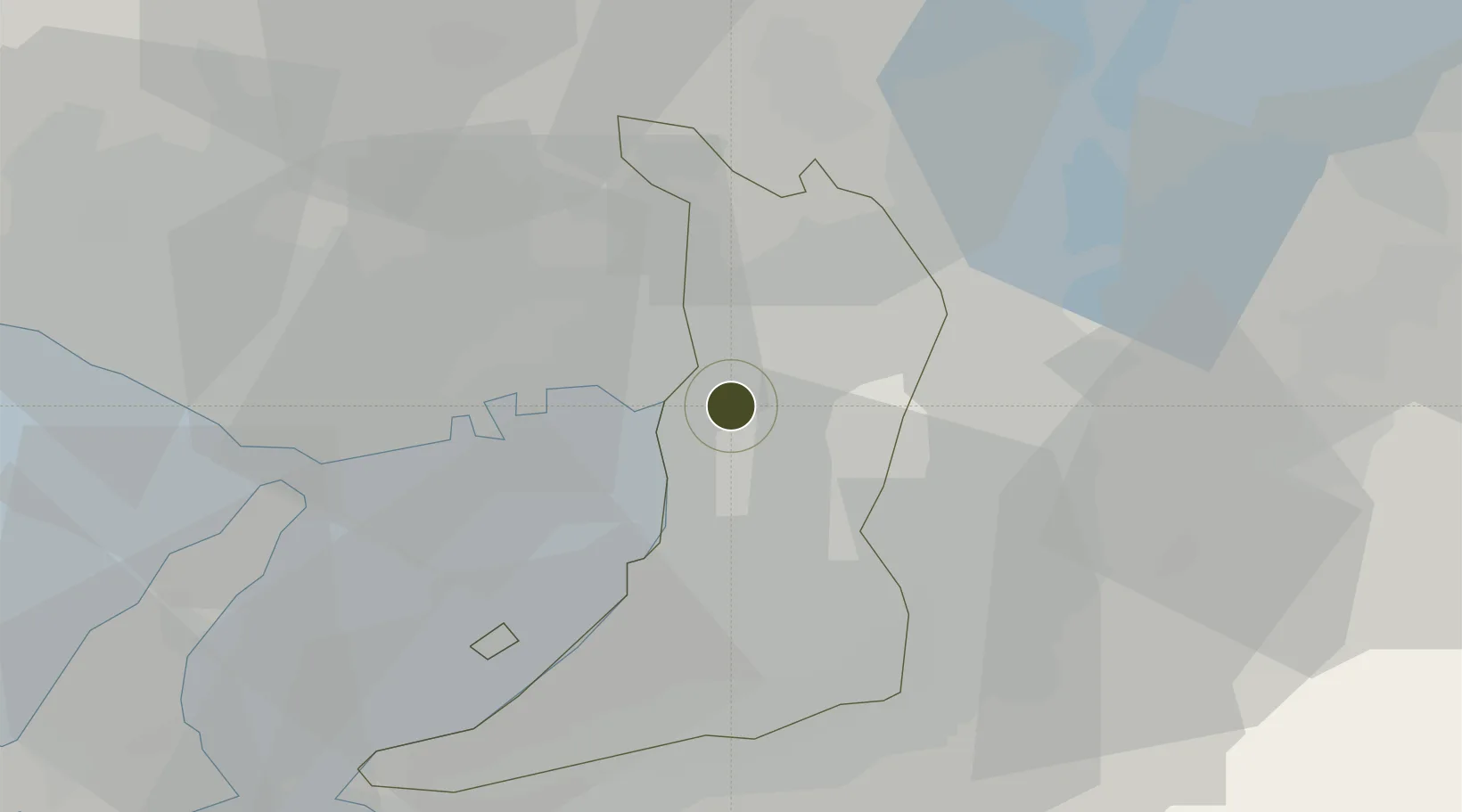
34.6869°, 135.4841°
73 ha
Zone area
6.2 km
Nearest port
11.2 km
Nearest airport
Gateway access
Zone profile
Zone type
Specialized Zone
Specialization
Tech
Region
Ōsaka
Status
Active
Management
Public
Operator
Kansai International Strategic Comprehensive Special Zone Regional Council Secretariat
Legal framework
Comprehensive Special Zone Law Enforcement Ordinance
Location
Nearby Logistics Neighbours
Ports
- 1Osaka6 km
- 2Amagasaki9 km
- 3Sakai-Senboku16 km
- 4Hannan Ko27 km
- 5Kobe28 km
Airports
Cities
- 1Minato-Ku, Osaka3 km
- 2Osaka-Fu3 km
- 3Konohana-Ku, Osaka5 km
- 4AmagasakiNishinomiyaAshiya7 km
- 5Osaka8 km
Trade Zones
- 1Nara Park Tourist Area Revitalization Comprehensive Special Zone33 km
- 2Rinku Town Izumisano City Area Regional Revitalization Comprehensive Special Zone36 km
- 3Lake Biwa Southern Area New Industry Creation Special Zone50 km
- 4Kyoto City Regional Revitalization Comprehensive Special Zone50 km
- 5Wakayama Prefecture "Takano Kumano" Cultural and Regional Promotion Comprehensive Special Zone53 km
DatabookThe Record of Consolidated Knowledge
Japan beyond logistics?