Transport Functions
Multimodal
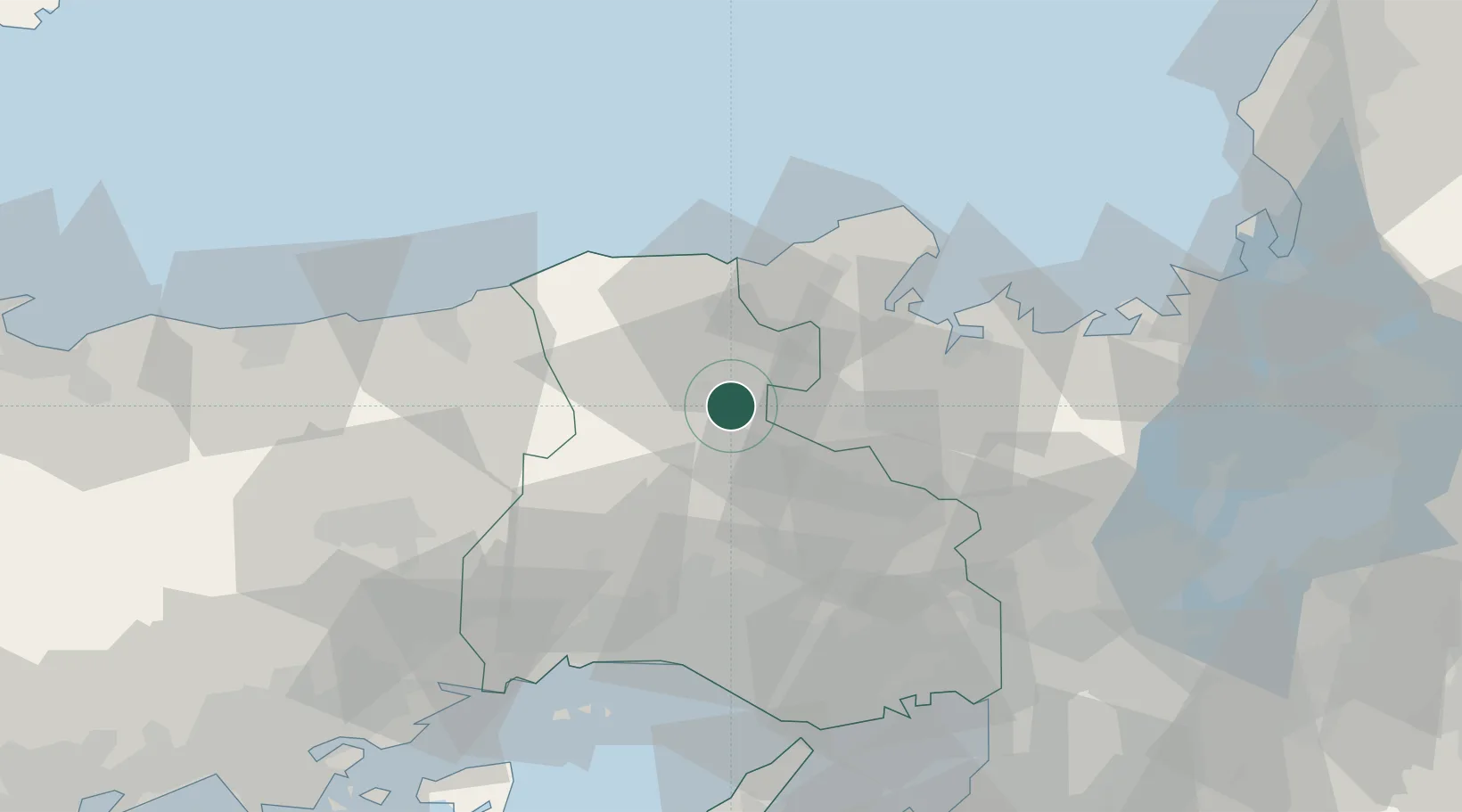
Hub Profile
Place type
Provincial seat
Region
Hyōgo
Time zone
Asia/Tokyo
Elevation
125 m
Location
Nearby Logistics Neighbours
Cities
- 1Tamba24 km
- 2Kobe, Kyota37 km
- 3Nishiwaki40 km
- 4Kasai45 km
- 5Sasayama45 km
Ports
- 1Miyazu39 km
- 2Maizuru Ko48 km
- 3Uchiura62 km
- 4Shikama66 km
- 5Hirohata66 km
Airports
- 1Konotori Tajima Airport21 km
- 2Tottori Sand Dunes Conan Airport66 km
- 3Osaka Itami International Airport82 km
- 4Kobe Airport85 km
- 5Yao Airport107 km
Trade Zones
DatabookThe Record of Consolidated Knowledge
Japan beyond logistics?