Transport Functions
Multimodal
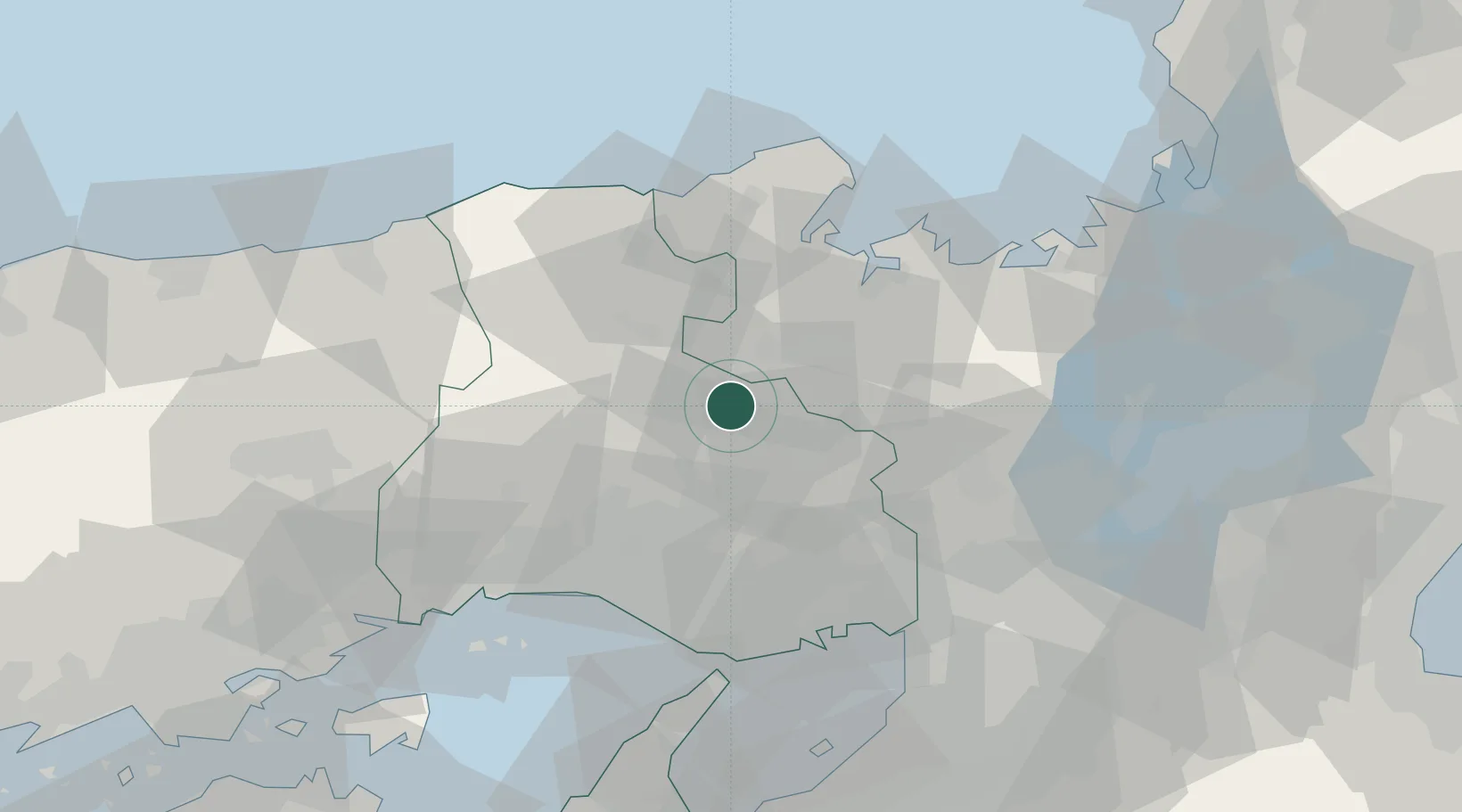
Hub Profile
Place type
Populated place
Region
Hyōgo
Population
61,471
Time zone
Asia/Tokyo
Elevation
97 m
Location
Nearby Logistics Neighbours
Ports
- 1Miyazu42 km
- 2Maizuru Ko46 km
- 3Uchiura56 km
- 4Higashi-Harima57 km
- 5Kakogawa57 km
Airports
- 1Konotori Tajima Airport43 km
- 2Osaka Itami International Airport58 km
- 3Kobe Airport64 km
- 4Yao Airport83 km
- 5Kansai International Airport86 km
Trade Zones
- 1Yabu City Strategic Special Zone35 km
- 2Kansai Innovation International Strategic Comprehensive Special Zone69 km
- 3Kyoto City Regional Revitalization Comprehensive Special Zone71 km
- 4Lake Biwa Southern Area New Industry Creation Special Zone83 km
- 5Rinku Town Izumisano City Area Regional Revitalization Comprehensive Special Zone90 km
DatabookThe Record of Consolidated Knowledge
Japan beyond logistics?