Medium airport · Japan
Konotori Tajima AirportRJBT
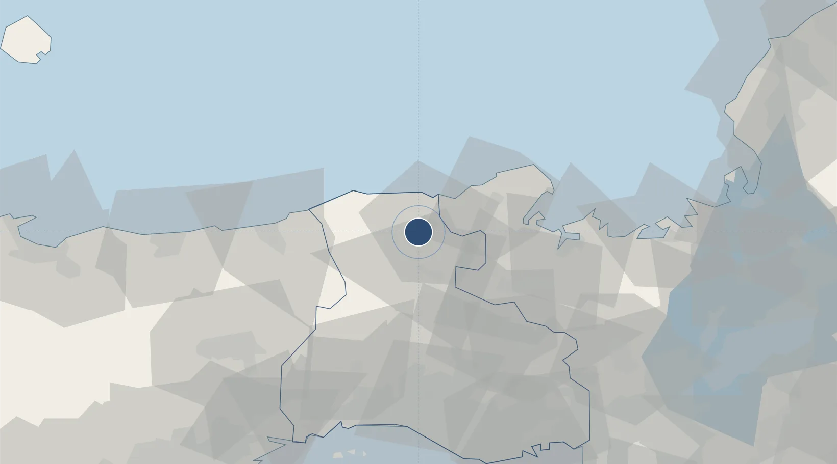
35.5128°, 134.7870°
3,937 ft
Longest runway
1
Runways
584 ft
Elevation
Runway & Layout

Radio Frequencies
RDO
118.4 MHz
REMOTE
UNIC
130.8 MHz
FLIGHT SVC
Navaids
THE VOR-DME Tajima 110.45 MHz
Runways · 1
| Runway | Dimensions | Surface | True heading | Lit |
|---|---|---|---|---|
| 01/19 | 3,937 × 98ft | Asphalt | 003° | ✓ |
Airport Specifications
IATA code
TJH
ICAO code
RJBT
Airport class
Medium airport
Scheduled service
Yes
Runway surface
Asphalt
Served city
Toyooka
Location
Nearby Logistics Neighbours
Airports
- 1Tottori Sand Dunes Conan Airport56 km
- 2Osaka Itami International Airport101 km
- 3Kobe Airport106 km
- 4Okayama Momotaro Airport119 km
- 5Yao Airport126 km
Cities
- 1Asago21 km
- 2Kobe, Kyota30 km
- 3Tamba43 km
- 4Maizuru49 km
- 5Nishiwaki61 km
Ports
- 1Miyazu37 km
- 2Maizuru Ko49 km
- 3Uchiura65 km
- 4Shikama84 km
- 5Hirohata84 km
Trade Zones
- 1Yabu City Strategic Special Zone12 km
- 2Kyoto City Regional Revitalization Comprehensive Special Zone105 km
- 3Kansai Innovation International Strategic Comprehensive Special Zone112 km
- 4Lake Biwa Southern Area New Industry Creation Special Zone119 km
- 5Okayama-type Sustainable Socio-Economic Model Construction Comprehensive Special Zone124 km
DatabookThe Record of Consolidated Knowledge
Japan beyond logistics?