Seaport · Japan
KobeJPUKB
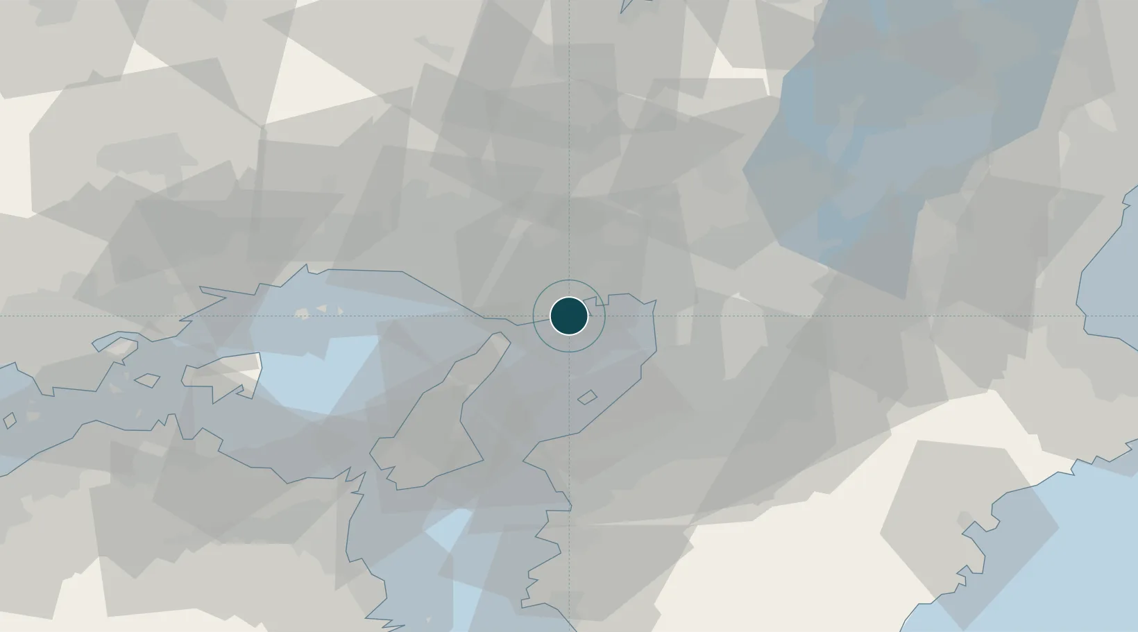
34.6500°, 135.1833°
14.0 m
Channel depth
9
Container terminals
546.6
Port liner connectivity
Channel & Berth Profile
Pilotage, Tugs & Services
Pilotage compulsoryYES
Pilotage availableYES
Tug assistanceYES
Salvage tugsNO
Shore powerYES
Potable waterYES
Diesel bunkersYES
MedicalYES
Garbage disposalYES
Facilities & Capabilities
Container—
Ro-Ro—
Liquid bulk—
Dry bulk—
Oil terminal—
Break bulk—
Dry dockNO
RepairsNO
BunkeringYES
Rail linkYES
Dangerous cargo—
ISPS security—
Harbour Specifications
Harbour size
Large
Harbour type
Open Roadstead
Shelter
Good
Water body
Sea of Japan; North Pacific Ocean
Tidal range
2 m
Pilotage
Yes
Liner Connectivity
546.6
PLSCI
Port Liner Shipping Connectivity Index for Kobe, as published by UNCTAD for the latest available quarter. Higher values indicate stronger scheduled liner-shipping integration.
Shown relative to the highest per-port PLSCI in the dataset (1,657.9).
Location
Container Terminals · 9
KAMIGUMI CONTAINER TERMINAL KOBE (KGCT)
KCT KAMIGUMI CO., LTD.
KICT PORT ISLAND (PC-14/15/16/17)
KICT MITSUI O.S.K. LINES, LTD / SANKYU / SUMITOMO WAREHOUSE / NICKEL & LYONS, LTD.
PORT ISLAND PC-13
PC13 NISSIN CORPORATION
PORT ISLAND M BERTH (PI-M)
PIM SHOSEN KOUN CO., LTD.
ROKKO ISLAND RC-2
RC2 MITSUI-SOKO CO., LTD.
ROKKO ISLAND RC-4/5
RC45 KAWASAKI KISEN KAISHA LTD. / MITSUBISHI LOGISTICS CORPORATION
ROKKO ISLAND RC-6/7
RC6 NIPPON YUSEN KABUSHIKI KAISHA
ROKKO ISLAND SOUTH B/C BERTH
RSBC SHOSEN KOUN CO., LTD.
ROKKO ISLAND R-WX
RWX MITSUBISHI LOGISTICS CORP.
Nearby Logistics Neighbours
Ports
- 1Amagasaki19 km
- 2Osaka23 km
- 3Sakai-Senboku25 km
- 4Hannan Ko26 km
- 5Higashi-Harima33 km
Cities
- 1Hyogo2 km
- 2Nada-Ku, Hyogo7 km
- 3Ashiya, Hyogo15 km
- 4Osaka22 km
- 5AmagasakiNishinomiyaAshiya23 km
Airports
Trade Zones
- 1Kansai Innovation International Strategic Comprehensive Special Zone28 km
- 2Rinku Town Izumisano City Area Regional Revitalization Comprehensive Special Zone30 km
- 3Awaji Environmental Future Island Special Zone43 km
- 4Nara Park Tourist Area Revitalization Comprehensive Special Zone61 km
- 5Wakayama Prefecture "Takano Kumano" Cultural and Regional Promotion Comprehensive Special Zone61 km
DatabookThe Record of Consolidated Knowledge
Japan beyond logistics?