UN/LOCODE hub · Japan
JPMAI
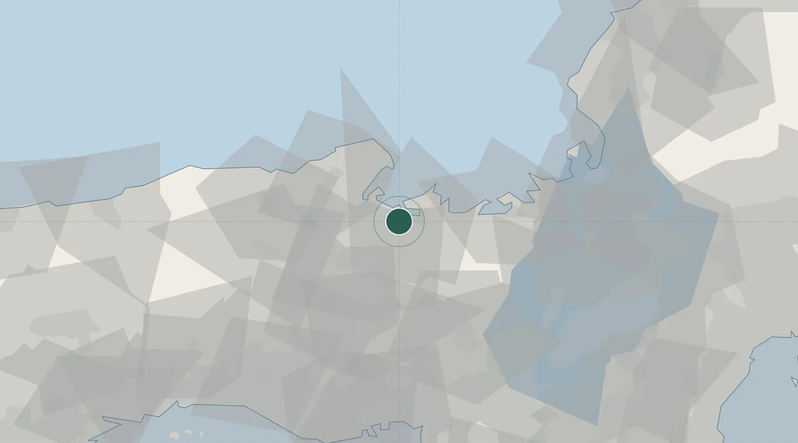
Maizuru
35.4611°, 135.3244°
92,465
Population
1
Transport functions
2
Container terminals
Transport Functions
Port
Hub Profile
Place type
Provincial seat
Region
Kyoto
Population
92,465
Time zone
Asia/Tokyo
Elevation
6 m
Logistics facilities
3
Container terminals
2
Location
Nearby Logistics Neighbours
Cities
- 1Kobe, Kyota26 km
- 2Kyotamba34 km
- 3Tamba41 km
- 4Sasayama45 km
- 5Asago45 km
Ports
- 1Miyazu14 km
- 2Uchiura17 km
- 3Tsuruga Ko70 km
- 4Amagasaki85 km
- 5Osaka91 km
Airports
- 1Konotori Tajima Airport49 km
- 2Osaka Itami International Airport76 km
- 3Kobe Airport93 km
- 4Yao Airport100 km
- 5Tottori Sand Dunes Conan Airport105 km
DatabookThe Record of Consolidated Knowledge
Japan beyond logistics?