Specialized Zone · Japan
Yabu City Strategic Special Zone Active
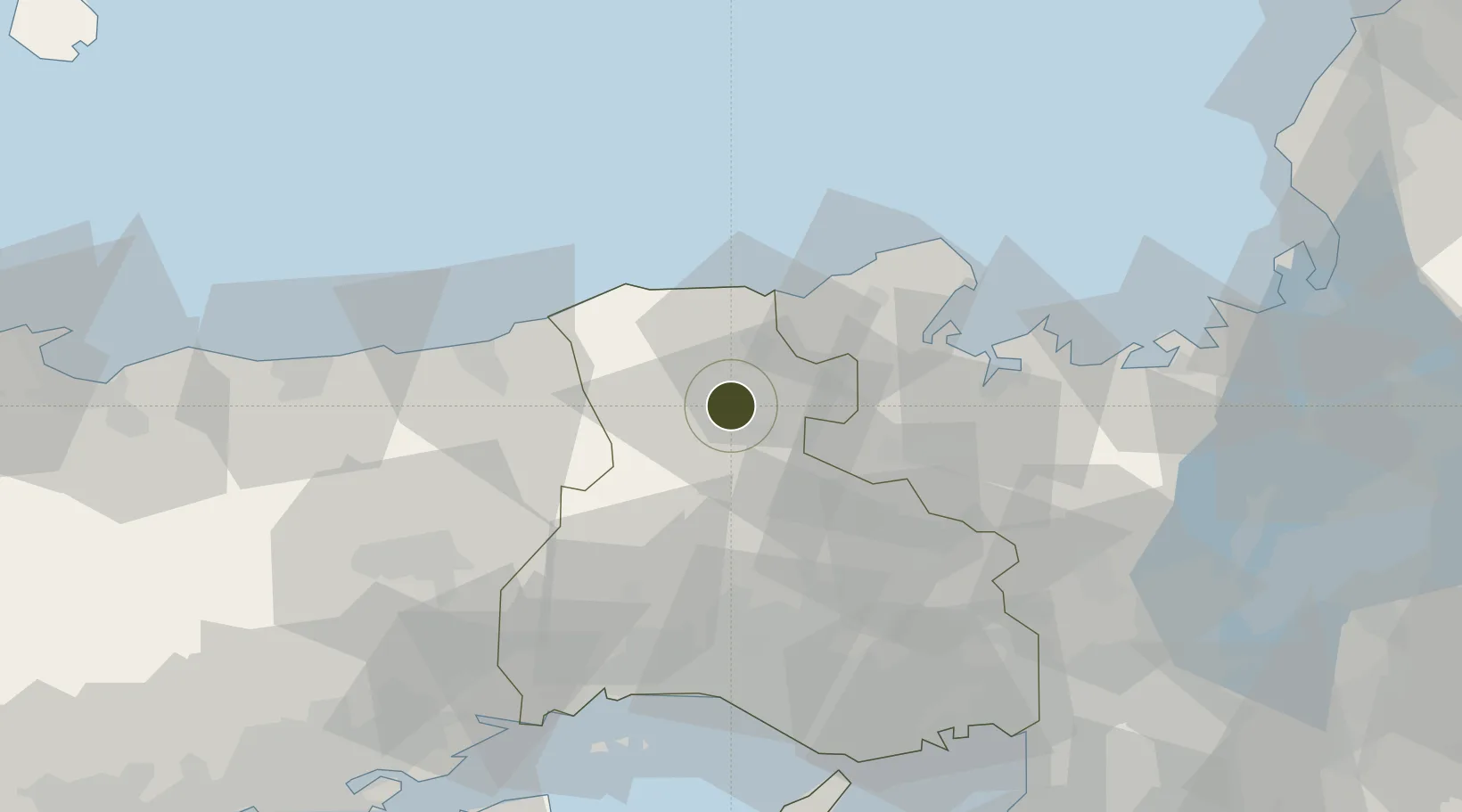
35.4046°, 134.7676°
17 ha
Zone area
41.7 km
Nearest port
12.2 km
Nearest airport
Gateway access
Zone profile
Zone type
Specialized Zone
Specialization
Agriculture
Region
Hyōgo
Status
Active
Management
Public
Operator
Yabu City Authority
Legal framework
On April 25, 2014, the "Cabinet Order to Establish National Strategic Special Zones" was approved by the Cabinet based on the provisions of Article 2, Paragraph 1 of the National Strategic Special Zones Act (Act No. 107 of 2013). (Promulgated and enforced
Location
Nearby Logistics Neighbours
Ports
- 1Miyazu42 km
- 2Maizuru Ko53 km
- 3Uchiura68 km
- 4Shikama72 km
- 5Hirohata72 km
Airports
- 1Konotori Tajima Airport12 km
- 2Tottori Sand Dunes Conan Airport56 km
- 3Osaka Itami International Airport93 km
- 4Kobe Airport95 km
- 5Okayama Momotaro Airport110 km
Cities
- 1Asago11 km
- 2Tamba35 km
- 3Kobe, Kyota37 km
- 4Nishiwaki50 km
- 5Maizuru51 km
Trade Zones
- 1Kyoto City Regional Revitalization Comprehensive Special Zone101 km
- 2Kansai Innovation International Strategic Comprehensive Special Zone103 km
- 3Okayama-type Sustainable Socio-Economic Model Construction Comprehensive Special Zone114 km
- 4Lake Biwa Southern Area New Industry Creation Special Zone115 km
- 5Awaji Environmental Future Island Special Zone118 km
DatabookThe Record of Consolidated Knowledge
Japan beyond logistics?