Medium airport · Japan
Yao AirportRJOY
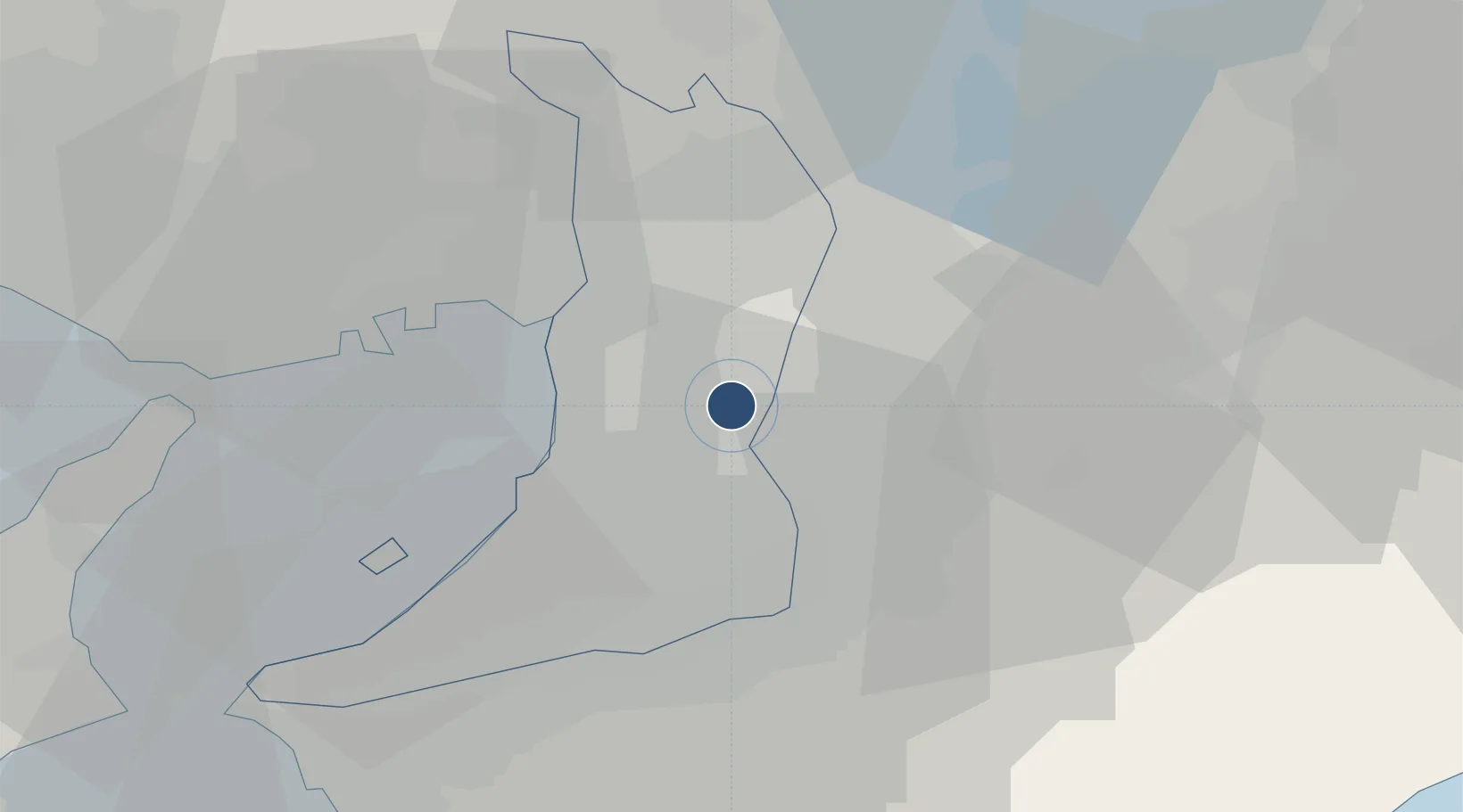
34.5963°, 135.6030°
4,890 ft
Longest runway
2
Runways
39 ft
Elevation
Runway & Layout

Radio Frequencies
TWR
124.35 MHz
GND
121.8 MHz
APP
120.45 MHz
KANSAI APP
Navaids
SK NDB Shinoda 219 kHz
YOE VOR-DME Yao 114.60 MHz
Runways · 2
| Runway | Dimensions | Surface | True heading | Lit |
|---|---|---|---|---|
| 09/27 | 4,890 × 150ft | Asphalt | 087° | ✓ |
| 13/31 | 3,940 × 100ft | Asphalt | 127° | — |
Airport Specifications
ICAO code
RJOY
Airport class
Medium airport
Scheduled service
No
Runway surface
Asphalt
Served city
Yao
Location
Nearby Logistics Neighbours
Airports
Cities
- 1Fujiidera3 km
- 2Habikino5 km
- 3Higashiosaka City8 km
- 4Tondabayashi11 km
- 5Daito, Osaka12 km
Ports
- 1Sakai-Senboku16 km
- 2Osaka17 km
- 3Amagasaki23 km
- 4Hannan Ko27 km
- 5Kobe39 km
Trade Zones
- 1Kansai Innovation International Strategic Comprehensive Special Zone15 km
- 2Nara Park Tourist Area Revitalization Comprehensive Special Zone24 km
- 3Rinku Town Izumisano City Area Regional Revitalization Comprehensive Special Zone35 km
- 4Wakayama Prefecture "Takano Kumano" Cultural and Regional Promotion Comprehensive Special Zone42 km
- 5Lake Biwa Southern Area New Industry Creation Special Zone50 km
DatabookThe Record of Consolidated Knowledge
Japan beyond logistics?