Transport Functions
Multimodal
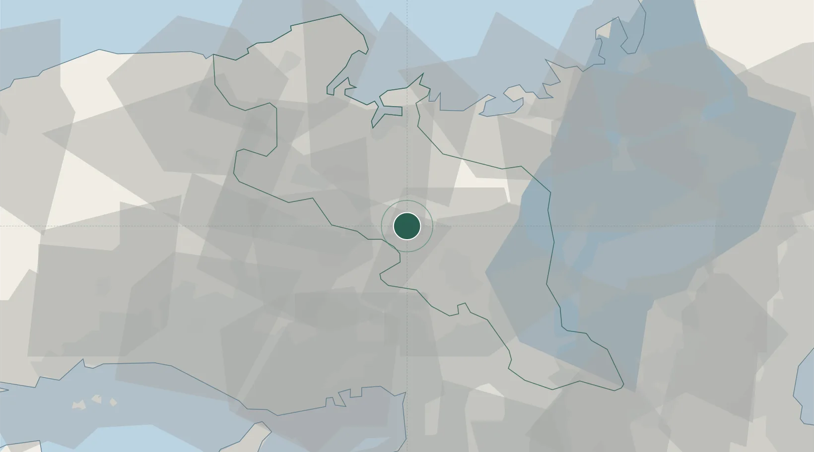
Hub Profile
Place type
Populated place
Region
Kyoto
Population
12,907
Time zone
Asia/Tokyo
Elevation
200 m
Location
Nearby Logistics Neighbours
Ports
- 1Uchiura40 km
- 2Maizuru Ko40 km
- 3Miyazu45 km
- 4Amagasaki52 km
- 5Osaka58 km
Airports
- 1Osaka Itami International Airport43 km
- 2Kobe Airport62 km
- 3Yao Airport66 km
- 4Konotori Tajima Airport69 km
- 5Kansai International Airport84 km
Trade Zones
- 1Kyoto City Regional Revitalization Comprehensive Special Zone37 km
- 2Lake Biwa Southern Area New Industry Creation Special Zone50 km
- 3Kansai Innovation International Strategic Comprehensive Special Zone54 km
- 4Yabu City Strategic Special Zone65 km
- 5Nara Park Tourist Area Revitalization Comprehensive Special Zone66 km
DatabookThe Record of Consolidated Knowledge
Japan beyond logistics?