Medium airport · Japan

Tottori Sand Dunes Conan AirportRJOR
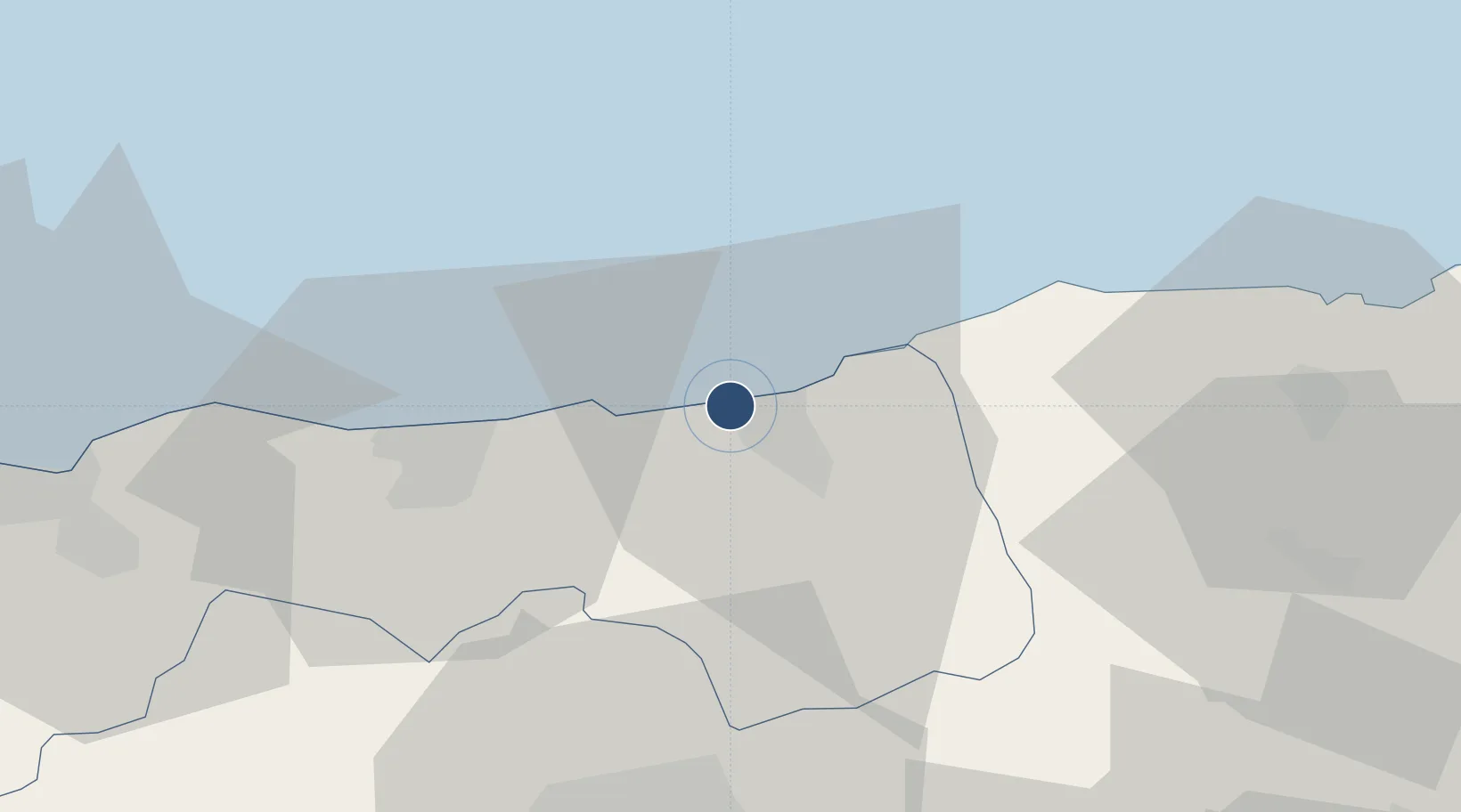
35.5301°, 134.1650°
6,562 ft
Longest runway
1
Runways
65 ft
Elevation

Runway & Layout

Tottori Sand Dunes Conan Airport runway & taxiway layout
Runway & taxiway layout — OpenStreetMap (ODbL) / OurAirports

Radio Frequencies

RDO
118.15 MHz
OurAirports

Navaids

TRE VOR-DME Tottori 110.20 MHz
OurAirports

Runways · 1

RunwayDimensions SurfaceTrue headingLit
10/28 6,562 × 150ft Asphalt 094°
OurAirports

Airport Specifications

IATA code
TTJ
OurAirports
ICAO code
RJOR
OurAirports
Airport class
Medium airport
OurAirports
Scheduled service
Yes
OurAirports
Runway surface
Asphalt
OurAirports
Served city
Tottori
OurAirports

Location

Location of RJOR
Natural Earth 10m (public domain) · Tottori · RJOR · 35.53, 134.17GoogleOSMYandex

Nearby Logistics Neighbours

Airports
  1. 1Konotori Tajima Airport56 km
  2. 2Yonago Kitaro Airport / JASDF Miho Air Base84 km
  3. 3Okayama Momotaro Airport91 km
  4. 4Oki Global Geopark Airport105 km
  5. 5Izumo Enmusubi Airport116 km
Nearest neighbours — logibook spatial index (haversine) over the source coordinates
Cities
  1. 1Tsuyama, Okayama15 km
  2. 2Hokuei36 km
  3. 3Asago66 km
  4. 4Hoki71 km
  5. 5Wake76 km
Nearest neighbours — logibook spatial index (haversine) over the source coordinates
Ports
  1. 1Sakai Ko83 km
  2. 2Sakaiminato84 km
  3. 3Aioi87 km
  4. 4Miyazu94 km
  5. 5Hirohata95 km
Nearest neighbours — logibook spatial index (haversine) over the source coordinates
DatabookThe Record of Consolidated Knowledge
Japan beyond logistics?
Browse databook

All Sources

AirportsOurAirports
Public domain
Portsthe NGA World Port Index
Public domain (US gov)
LocationsUN/LOCODE
UN/LOCODE — free
Trade Zonesthe World Bank SEZ database
CC BY 4.0
Trade ZonesOpen Zone Map
CC BY
InfrastructureOpenStreetMap
ODbL 1.0
← Japan airports