UN/LOCODE hub · Japan
JPNRI

Narita, Chiba

35.7833°, 140.3167°
2
Transport functions

Transport Functions

Rail
Road
UN/LOCODE

Hub Profile

Region
12
GeoNames

Location

Location of JPNRI
Natural Earth 10m (public domain) · 12 · JPNRI · 35.78, 140.32GoogleOSMYandex

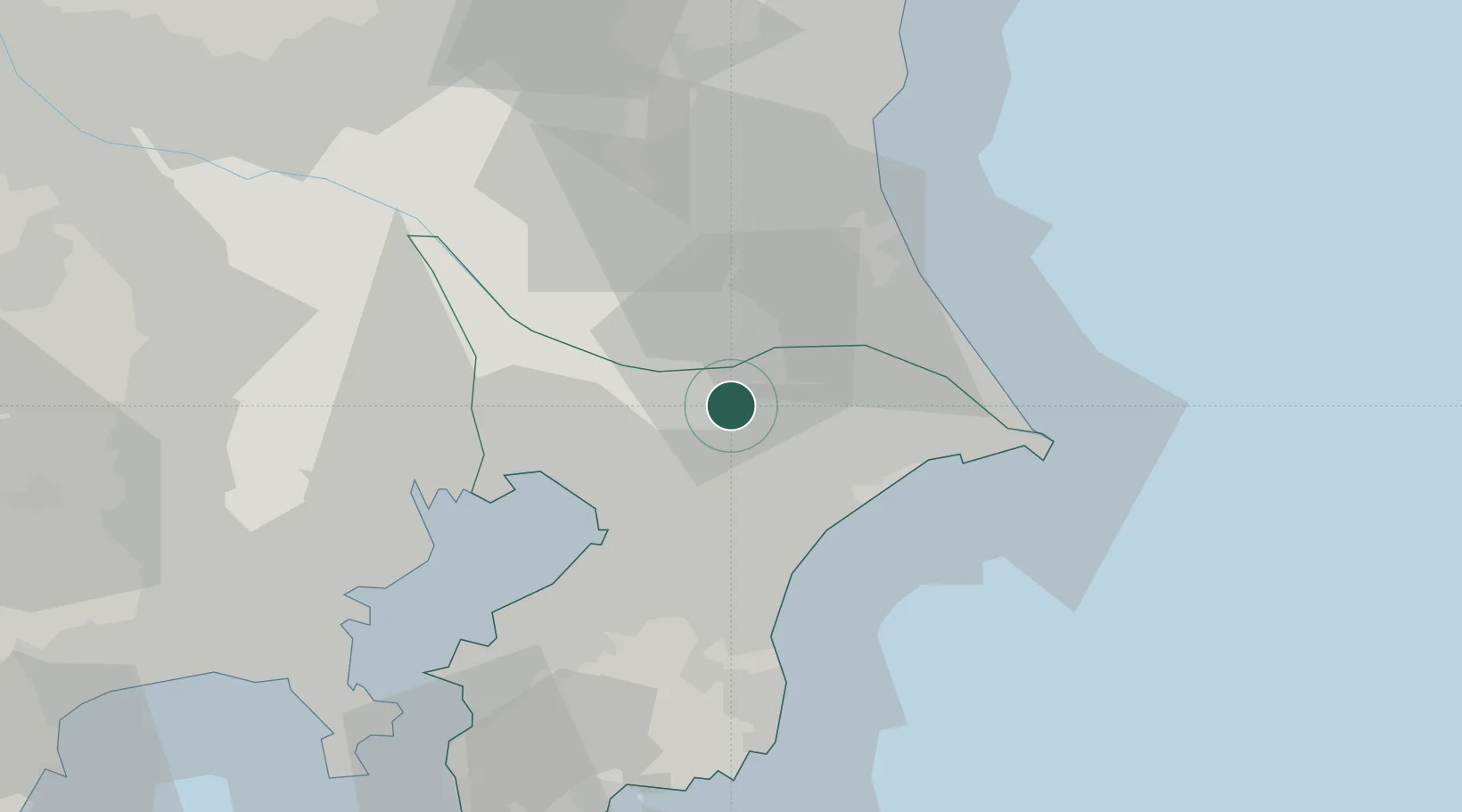
Nearby Logistics Neighbours

Cities
  1. 1Tomisato8 km
  2. 2Shisui Chiba9 km
  3. 3Katori-Gun12 km
  4. 4Inzai16 km
  5. 5Katori20 km
Nearest neighbours — logibook spatial index (haversine) over the source coordinates
Ports
  1. 1Chiba Ko32 km
  2. 2Funabashi36 km
  3. 3Kashima Ko38 km
  4. 4Choshi48 km
  5. 5Tokyo Ko53 km
Nearest neighbours — logibook spatial index (haversine) over the source coordinates
Airports
  1. 1Narita International Airport7 km
  2. 2JMSDF Shimofusa Air Base28 km
  3. 3Ibaraki International Airport45 km
  4. 4Tokyo Haneda International Airport55 km
  5. 5JGSDF Kisarazu Airfield56 km
Nearest neighbours — logibook spatial index (haversine) over the source coordinates
DatabookThe Record of Consolidated Knowledge
Japan beyond logistics?
Browse databook

All Sources

LocationsUN/LOCODE
UN/LOCODE — free
Portsthe NGA World Port Index
Public domain (US gov)
AirportsOurAirports
Public domain
Trade Zonesthe World Bank SEZ database
CC BY 4.0
Trade ZonesOpen Zone Map
CC BY
← Japan locations