Transport Functions
Port
Road
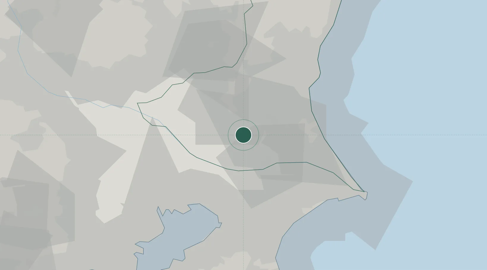
Hub Profile
Place type
Provincial seat
Region
Ibaraki
Population
40,087
Time zone
Asia/Tokyo
Elevation
9 m
Location
Nearby Logistics Neighbours
Ports
- 1Kashima Ko45 km
- 2Funabashi47 km
- 3Chiba Ko52 km
- 4Tokyo Ko59 km
- 5Hitachi64 km
Airports
DatabookThe Record of Consolidated Knowledge
Japan beyond logistics?