UN/LOCODE hub · Japan
JPORI

Katori-Gun

35.7167°, 140.4167°
1
Transport functions

Transport Functions

Multimodal
UN/LOCODE

Hub Profile

Region
12
GeoNames

Location

Location of JPORI
Natural Earth 10m (public domain) · 12 · JPORI · 35.72, 140.42GoogleOSMYandex

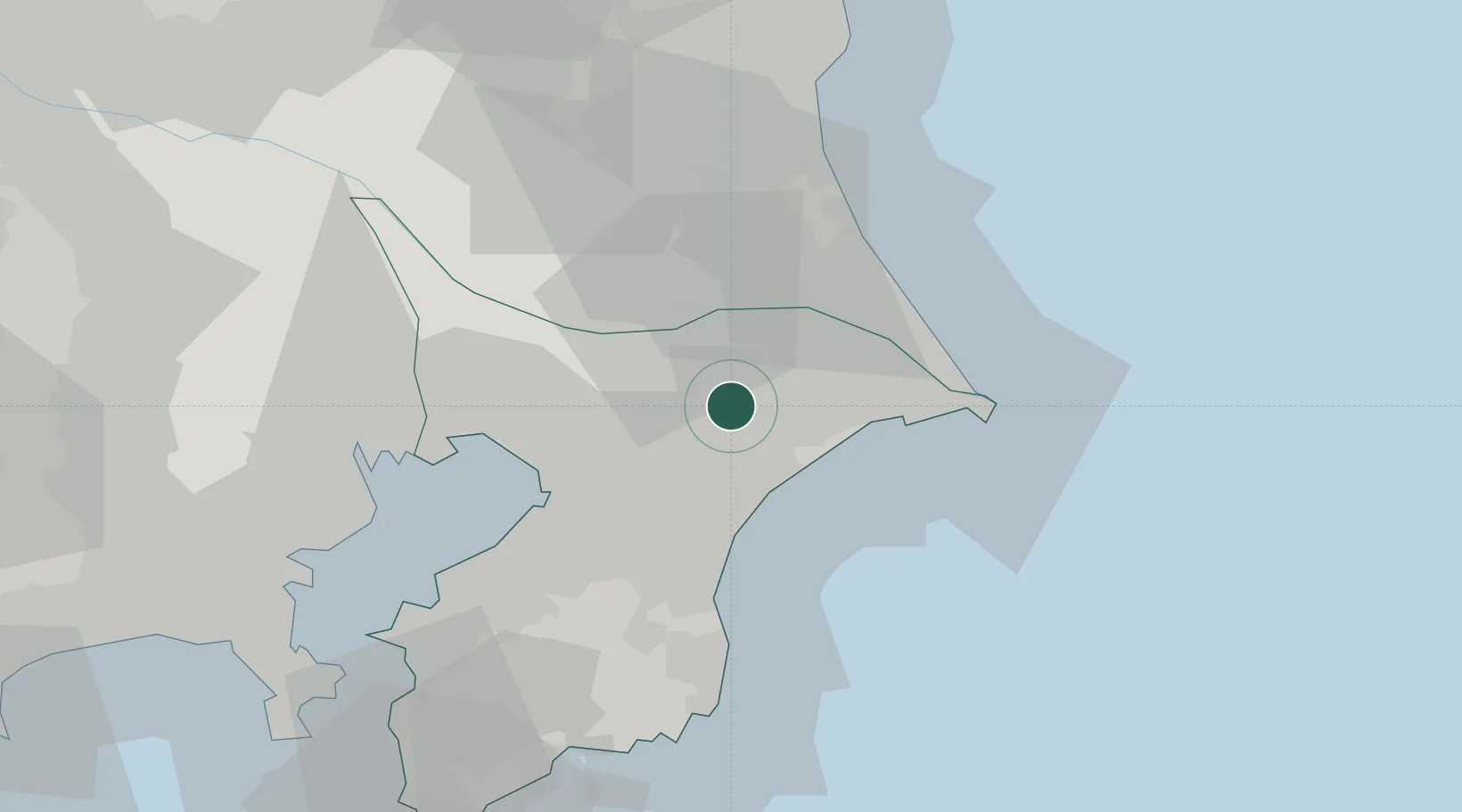
Nearby Logistics Neighbours

Cities
  1. 1Tomisato8 km
  2. 2Katori8 km
  3. 3Narita, Chiba12 km
  4. 4Shisui Chiba14 km
  5. 5Futtsu, Chiba15 km
Nearest neighbours — logibook spatial index (haversine) over the source coordinates
Ports
  1. 1Chiba Ko35 km
  2. 2Kashima Ko35 km
  3. 3Choshi39 km
  4. 4Funabashi43 km
  5. 5Tokyo Ko61 km
Nearest neighbours — logibook spatial index (haversine) over the source coordinates
Airports
  1. 1Narita International Airport6 km
  2. 2JMSDF Shimofusa Air Base38 km
  3. 3Ibaraki International Airport52 km
  4. 4JGSDF Kisarazu Airfield58 km
  5. 5Tokyo Haneda International Airport60 km
Nearest neighbours — logibook spatial index (haversine) over the source coordinates
DatabookThe Record of Consolidated Knowledge
Japan beyond logistics?
Browse databook

All Sources

LocationsUN/LOCODE
UN/LOCODE — free
Portsthe NGA World Port Index
Public domain (US gov)
AirportsOurAirports
Public domain
Trade Zonesthe World Bank SEZ database
CC BY 4.0
Trade ZonesOpen Zone Map
CC BY
← Japan locations