Transport Functions
Multimodal
Hub Profile
Place type
Locality
Region
Saitama
Time zone
Asia/Tokyo
Elevation
14 m
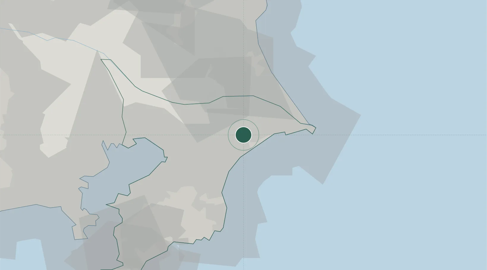
Location
Nearby Logistics Neighbours
Cities
- 1Katori-Gun8 km
- 2Futtsu, Chiba15 km
- 3Tomisato16 km
- 4Togane18 km
- 5Narita, Chiba20 km
Ports
- 1Choshi32 km
- 2Kashima Ko33 km
- 3Chiba Ko41 km
- 4Funabashi50 km
- 5Kisarazu Ko66 km
Airports
DatabookThe Record of Consolidated Knowledge
Japan beyond logistics?