Transport Functions
Road
Multimodal
Hub Profile
Place type
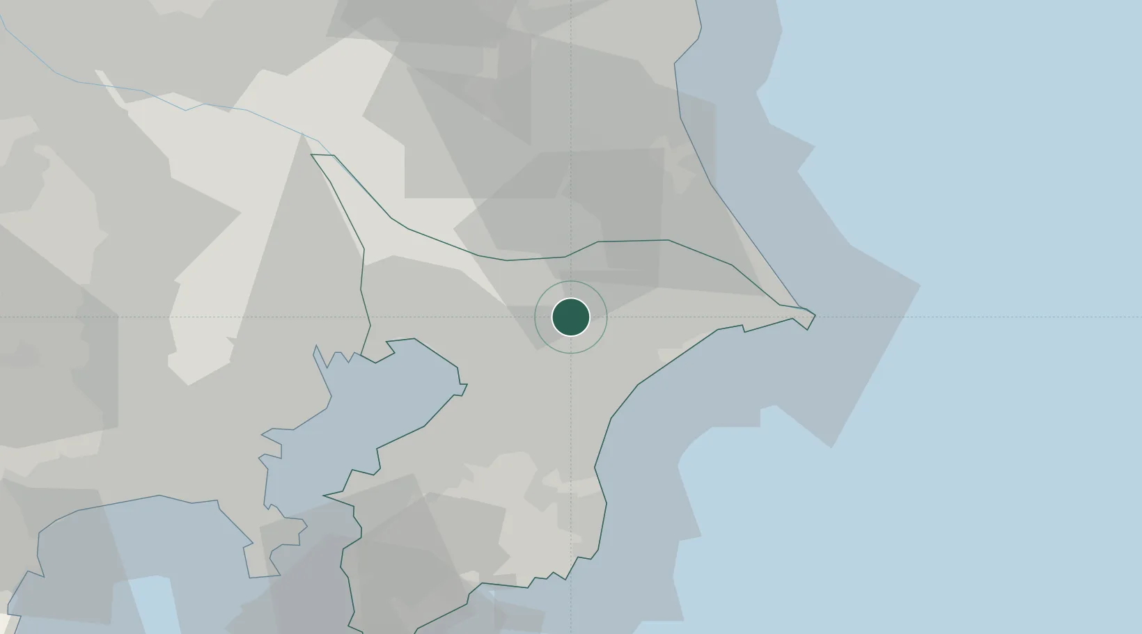
Provincial seat
Region
Chiba
Time zone
Asia/Tokyo
Elevation
45 m
Location
Nearby Logistics Neighbours
Cities
- 1Shisui Chiba6 km
- 2Katori-Gun8 km
- 3Narita, Chiba8 km
- 4Futtsu, Chiba16 km
- 5Katori16 km
Ports
- 1Chiba Ko28 km
- 2Funabashi35 km
- 3Kashima Ko41 km
- 4Choshi47 km
- 5Tokyo Ko53 km
Airports
DatabookThe Record of Consolidated Knowledge
Japan beyond logistics?