Channel & Berth Profile
Pilotage, Tugs & Services
Pilotage compulsoryNO
Pilotage availableYES
Pilotage advisableYES
Tug assistanceNO
Salvage tugsNO
Potable waterYES
Facilities & Capabilities
Container—
Ro-Ro—
Liquid bulk—
Dry bulk—
Oil terminal—
Break bulk—
Dry dock—
RepairsNO
BunkeringYES
Rail linkYES
Dangerous cargo—
ISPS security—
Harbour Specifications
Harbour size
Small
Harbour type
Open Roadstead
Shelter
Good
Water body
Korea Strait; North Pacific Ocean
Tidal range
4 m
Pilotage
No
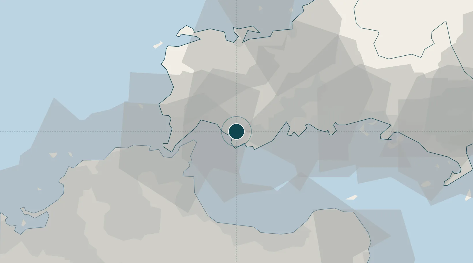
Location
Nearby Logistics Neighbours
Ports
- 1Ube Ko9 km
- 2Moji Ko21 km
- 3Shimonoseki24 km
- 4Kanda29 km
- 5Muturezima Ko29 km
Cities
- 1Ube9 km
- 2Sanyo Onoda Yamaguchi9 km
- 3Moji/Kitakyushu20 km
- 4Shinmoji24 km
- 5Kanmon27 km
Airports
- 1Yamaguchi Ube Airport12 km
- 2Kitakyushu Airport22 km
- 3JASDF Hofu Airfield34 km
- 4JASDF Tsuiki Air Base37 km
- 5JASDF Ashiya Air Base51 km
Trade Zones
- 1Yamaguchi Next-Generation Agricultural Production Structure Establishment Special Zone70 km
- 2Higashi Kyushu Medical Valley Concept Special Zone81 km
- 3Green Asia International Strategic Comprehensive Special Zone83 km
- 4Kyushu Asia Tourism Island Comprehensive Special Zone86 km
- 5Fukuoka City Strategic Special Zone86 km
DatabookThe Record of Consolidated Knowledge
Japan beyond logistics?